
On July 01, 2026, Gökçe Yağmur Özcan will present her Master Thesis on ” Machine Learning Inference of Building Basement Presence Using Street-Level Imagery and Multi-Source Geospatial Attributes: A Case Study of Mannheim, Germany ” at 11:00 at the EORC Meeting Room on the 1st floor in John-Skilton-Str. 4a.
From the abstract:
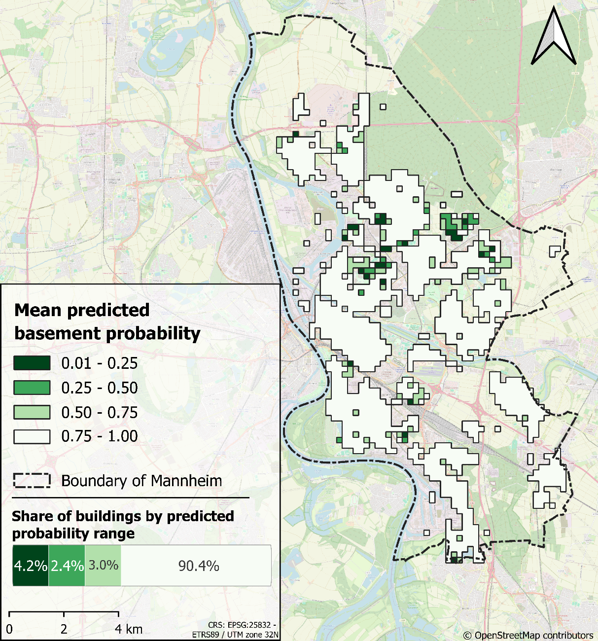
Basement presence is a relevant but typically missing attribute in standard geospatial building inventories, although it can influence flood vulnerability, indoor exposure, and urban energy modelling. This thesis develops and evaluates a machine learning workflow for inferring building-level basement presence by combining street-level imagery with multi-source geospatial attributes. In the Mannheim study area, street-level images were linked to building footprints to obtain façade-level visual information. This workflow resulted in 14,667 filtered façade images, corresponding to a spatial coverage rate of 49.1% for the considered buildings located along the road. Basement indicators, such as basement windows and stoops, were then detected from the façade images using YOLOv8m and RT DETR-R50 object detection models. These visual outputs, together with additional reference information and field observations, were used to generate building-level reference labels for basement presence and absence. These labels were combined with building, topographic, and hydro-topographic attributes for attribute-based inference of basement presence using XGBoost and Random Forest models. In spatial cross-validation, XGBoost achieved the strongest class-balanced performance, with a balanced accuracy of 92.8%, a kappa value of 0.79, and an overall accuracy of 96.5%. Model interpretation using SHAP showed that construction period, local topography, building asset value, and number of storeys contributed most strongly to the predictions. The model was also applied to an external test area in Duisburg, demonstrating consistent results and its transferability. The results demonstrate that standard building inventories can be enriched with basement information using street-level imagery and geospatial attributes while also highlighting remaining limitations related to heterogeneous street-level image coverage, visibility constraints, class imbalance, and the need for broader external validation datasets.
1st Supervisor: Prof. Dr. Hannes Taubenböck
2nd Supervisor: Dr. Patrick Aravena Pelizari