EcoGlob interdisciplinary research with Univ. Bayreuth

EcoGlob interdisciplinary research with Univ. Bayreuth

September 13, 2023

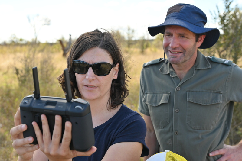
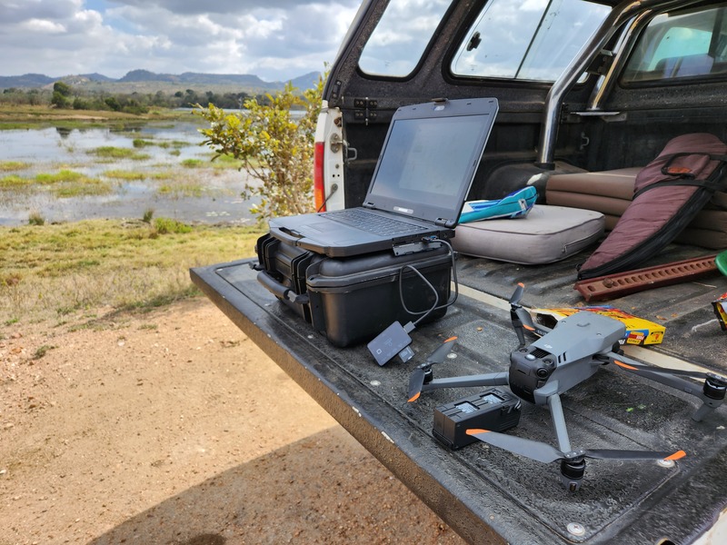
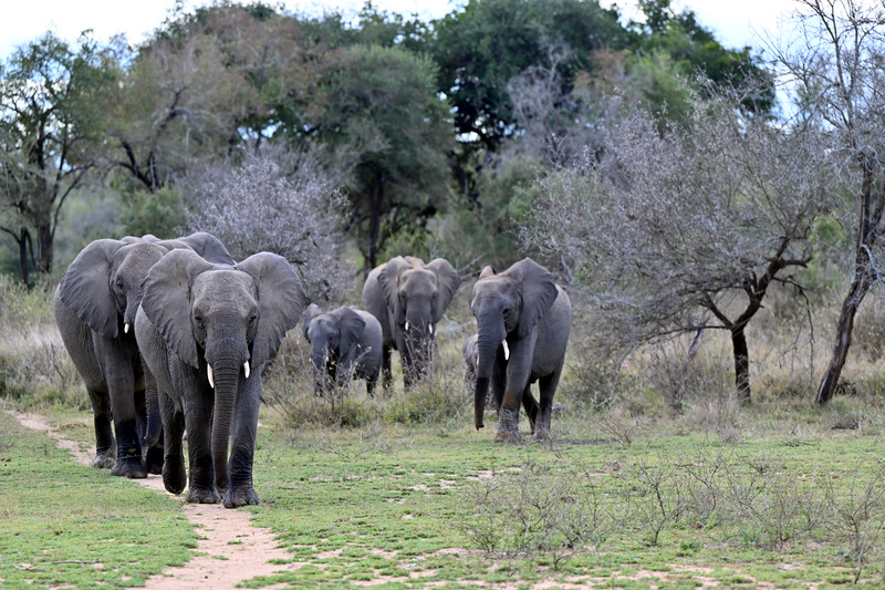
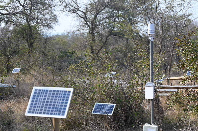
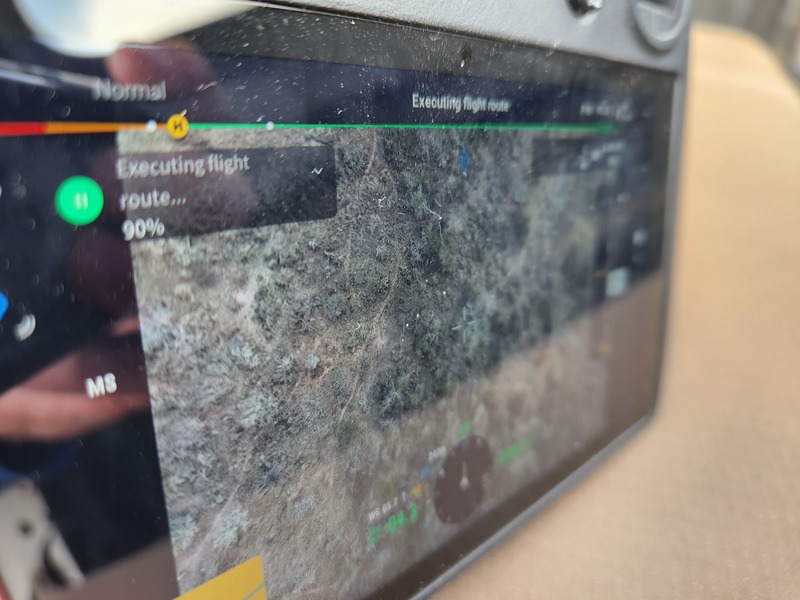
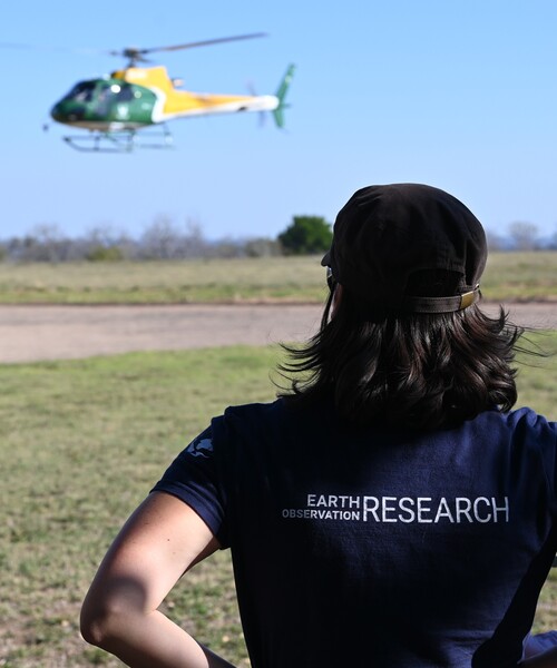
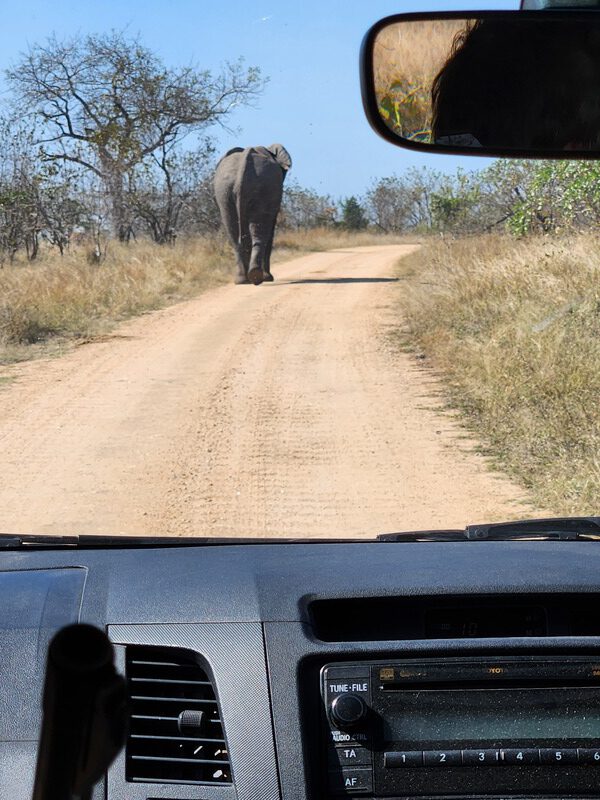
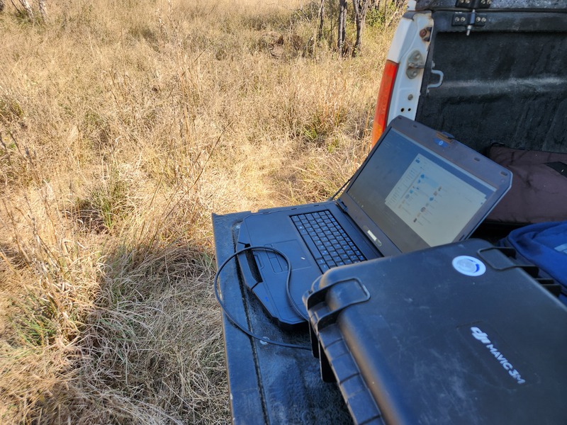
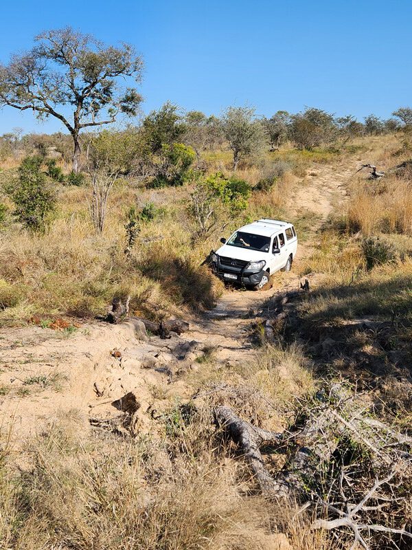
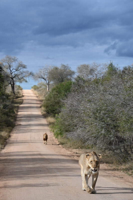
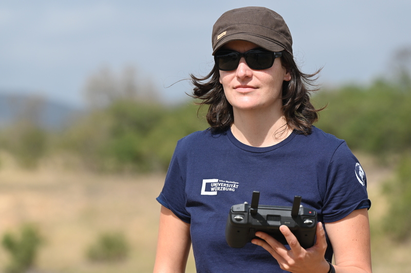
In the last years our EcoGlob team at the Earth Observation research cluster established various new cooperation with colleagues from the University of Bayreuth as well as the University of Würzburg. One of these numerous activities was the UAS/UAS/drone based analysis of savanna areas with respect to drought in Africa. Jointly with our colleagues from University of Bayreuth, Plant Ecology Group, lead by Prof. Steven Higgins, the EcoGlob team member Dr. Mirjana Bevanda acquired various multi-spectral very high resolution data of drought experiment sites in Africa, joint by Dr. Wigley from Steven Higgins group. The study sites will be covered in regular intervals over a longer period to analyze the drought induced responses of the vegetation using multi-spectral information in cm resolution to pinpoint individuals trees and shrubs and their responses.

Various other EcoGlob joint research projects are conducted as well, such as plastic mapping jointly with University of Bayreuth or forest, grassland and agricultural mapping with the biology institute of University of Würzburg. Further EcoGlob related research activities will be posted soon (or have been already posted).

follow us and share it on:

you may also like:

Seeing the World in Points: Lidar Course for the EAGLEs

Seeing the World in Points: Lidar Course for the EAGLEs

Lidar has a funny way of sneaking up on you. You think you know what it is, a laser that measures distance, fine, but then someone shows you a point cloud of a forest canopy with individual branches floating in 3D space and suddenly you realize there's a whole...

RTL covers EORC: TV Crew Films MONID Habitrack Fieldwork

RTL covers EORC: TV Crew Films MONID Habitrack Fieldwork

A bit of extra excitement at EORC recently, an RTL television crew showed up to film a segment on the MONID Habitrack project, and Dr. Ariane Droin was right in the middle of it, walking them through what Earth Observation actually brings to the table for a project...

Ticks from Above: UAS Fieldwork for the MONID Habitrack Project

Ticks from Above: UAS Fieldwork for the MONID Habitrack Project

Forest edges are tricky places. They're where woodland meets open ground, where light and shade trade off every few meters, and where, it turns out, ticks tend to do really well. That last bit is exactly why Dr. Ariane Droin, Sofica Garcia de Leon, Dr. Jakob...

Course on urban EO by Michael Wurm

Course on urban EO by Michael Wurm

Walk through any city and you pick up on things that are hard to put a number on. The noise of a main road, the heat that sits between buildings in summer, the question of whether that little park around the corner is really enough green space for the whole...

EireR R package: unified gateway to Irish geospatial data

EireR R package: unified gateway to Irish geospatial data

Anyone who's tried to do geospatial work across the whole island of Ireland knows the headache. Ireland is one island geographically, but it's split across two jurisdictions, the Republic and Northern Ireland, and each one runs its own data infrastructure. Different...

Impact of agrophotovoltaic facilities – an R package

Impact of agrophotovoltaic facilities – an R package

There's a new R package on the block, and it's solving a problem that sounds simple until you actually try to do it: how do you tell whether putting solar panels over a farm field is good or bad for the soil and the crops around them? Marlene, one of our EAGLE...

Share This