Empowering Future Earth Observation Experts! 🌍

Empowering Future Earth Observation Experts! 🌍

m

January 23, 2025

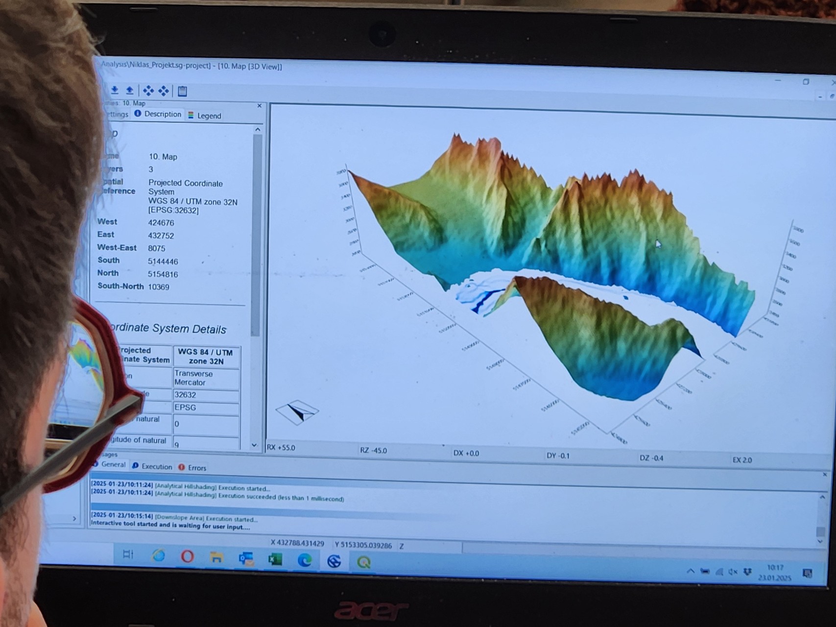
At EAGLE, our Earth Observation students are diving deep into the fascinating world of geospatial analysis! Through hands-on training, they master cutting-edge algorithms and techniques to address pressing environmental challenges such as Georisk Assessment: Identifying and mitigating natural hazards; Landslide Analysis: Mapping and modeling terrain instability; Snow Cover Monitoring: Understanding seasonal and climate-driven changes; Hydrology Applications: Analyzing flow accumulation and water resources.

By leveraging advanced SAGA GIS functions, our MSc students not only enhance their spatial software expertise but also gain practical knowledge to tackle real-world issues. Our program equips students with the tools and skills to excel in academia or industry, making them highly sought-after professionals in remote sensing and Earth observation.

🚀 Ready to shape the future of Earth observation? Apply to EAGLE at www.eagle-science.org/apply!


you may also like:

A Glimpse into Our Research: Data on Display in the Foyer

A Glimpse into Our Research: Data on Display in the Foyer

Stepping into the foyer, visitors are now greeted by large, striking images that tell the story of our research through data. Each visual represents a unique scientific perspective – from the Arctic to the cultivated landscapes of Bavaria, and from forest canopies to...

Successful MSc defense by Sonja Maas

Successful MSc defense by Sonja Maas

Big congratulations to Sonja Maas, who successfully defended her Master thesis today on the highly relevant and increasingly pressing topic: LiDAR-Based Acquisition Strategies for Forest Management Planning in a Mature Beech Stand Supervised by Dr. Julian Fäth and...

Visit at the Institute for Geoinformatics (IFGI) at University of Münster

Visit at the Institute for Geoinformatics (IFGI) at University of Münster

Two days ago, our PostDoc Dr. Jakob Schwalb-Willmann visited the Institute for Geoinformatics at University of Münster to give a talk at IFGI’s GI Forum titled “Can animals be used to classify land use? Employing movement-tracked animals as environmental informants using deep learning”.