EO4CAM meeting at LfU in Augburg on grassland in Bavaria

EO4CAM meeting at LfU in Augburg on grassland in Bavaria

May 30, 2025

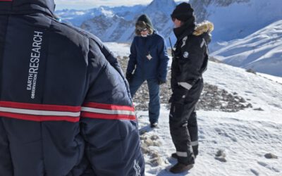
As part of the EO4CAM project (Earth Observation Laboratory for Climate Adaption and Mitigation), representatives of the Bavarian Environment Agency (LfU), the German Aerospace Centre (DLR), and the Earth Observation Research Cluster (EORC) met at the LfU in Augsburg on 27 May 2025. The expert meeting focused on the topic of grassland in Bavaria, in particular mowing events, yield modeling, grassland age, and diversity of grassland. Discussions addressed the role and possibilities of remote sensing to support authorities, e.g., working in the context of species protection and habitat mapping.. We thank for the fruitful discussion and look forward to continuing the exchange.
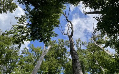
 

you may also like:

EORC at the International Africa Festival 2025 in Würzburg

EORC at the International Africa Festival 2025 in Würzburg

If you know Würzburg, you certainly know the International Africa Festival, Europe's largest and oldest festival for African music and culture. For 15 years in a row now, the university tent has been an integral part of the festival. This is where the...

New R Package Enhances UAS Research and Planning

New R Package Enhances UAS Research and Planning

We’re excited to share the development of a new R package created by our PhD student, Antonio Castaneda Gomez, whose contributions to Uncrewed Aerial Systems (UAS) research continue to impress. Known as the brain behind many of our UAS data collection...

Radio Bavaria BR2 covered our activities at the Africa-Festival

Radio Bavaria BR2 covered our activities at the Africa-Festival

Once again, our team proudly took part in the International Africa Festival in Würzburg, continuing our active participation within the University of Würzburg's exhibition—a tradition we’ve upheld for many years. This year’s event highlighted the ongoing commitment of...

Mapping Paleontology using UAS on cliffs

Mapping Paleontology using UAS on cliffs

We’ve recently started an exciting research project focused on mapping steep rock slopes that contain valuable paleontological information. Unlike most drone surveys that focus on horizontal ground surfaces, our work is aimed vertically—capturing data along exposed...

Talk at UAS Workshop on Applications in Forest and Forestry Science

Talk at UAS Workshop on Applications in Forest and Forestry Science

We are pleased to share that our Unmanned Aerial Systems (UAS) research team leader, Dr. Mirjana Bevanda, recently gave a talk at the workshop "UAS for Forest and Forestry Application and Science." The event brought together experts from various research institutions...