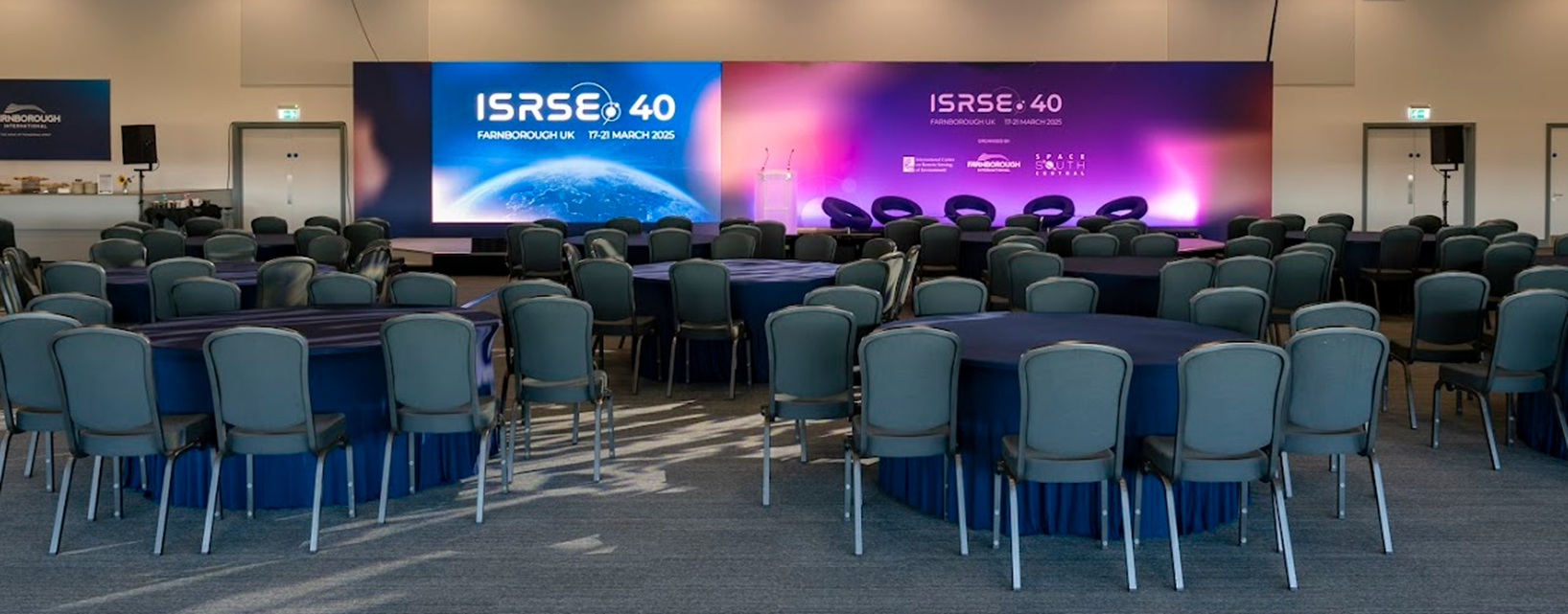
Our EORC and the EOC of DLR are contributing in manifold ways to The 40th International Symposium on Remote Sensing of Environment (ISRSE), which currently takes place in Farnborough, UK. https://isrse40.com/
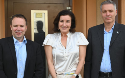
Our EAGLE lecturer and the deputy head of the German Remote Sensing Data Center (DFD) of the DLR, Dr. Doris Klein, was part of the “Space Agency Panel: EO for sustainable development & global partnerships” on the 17th of March. In this panel the strategic role of Earth Observation technologies in advancing global sustainability and the importance of revitalizing global partnerships for sustainable development, was discussed.
In addition, Dr. Doris Klein moderated a special session titled “Unlocking evidence-based policy with remote sensing” on the 18th of March. In this session the participants discussed the hurdles in Earth Observation for evidence based policy and informed decision making.
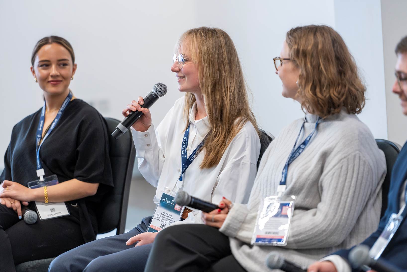
On the 17th of March, our EAGLE students Anna Bischof and Marlene Bauer participated in the New Professionals Forum – Youth Vision for EO 2030 alongside Michael Skreta (Space Generation Advisory Council at BAE Systems), Arianna Abdul-Nour (International Project lead at Islands Innovation), and Prof. Justin Sheffield (Head of School at Southampton University), moderated by John Latham (President of ICRSE). Together, they explored the future of EO careers, industry opportunities, and bridging the gap between academia and real-world applications. They emphasized cross-disciplinary skills and stronger collaboration between education, research, and industry: A key takeaway: EO careers are evolving rapidly, and young professionals must stay adaptable, innovative, and actively engaged in global networks.
On the 18th of March, Anna Bischof and Marlene Bauer presented their work with NatureSeychelles (https://natureseychelles.org) on Mangrove Monitoring using consumer-friendly UAS as part of the Special Session on Forestry and Biodiversity Monitoring with EO. They shared the stage with their co-panelists Prof. Mathias Disney from the University College London, Rob Coorey CEO of Geospatial Intelligence and moderator Matieu Henry Technical Officer at UNFAO. Together they discussed various topics such as the challenges of tracking biodiversity from space, importance of open-source software that is easy-to-use also for non EO-specialists, as well as expanding the needed infrastructure for cloud computing to ensure involvement global involvement. After the session, audience participants expressed their interest to use Marlene and Anna’s QGIS Plugin that they are currently developing to streamline UAS mission planning for non-survey drones.