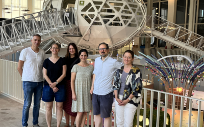
Over the past three days, our staff member Christoph Friedrich was in Berlin at the Grüne Woche (“Green Week”), which is the leading international trade fair for food and agriculture. In the exhibition hall of the German Ministry of Agriculture, he and other scientists from the AgriSens DEMMIN 4.0 research project explained their work to the interested public and showed their recent results.
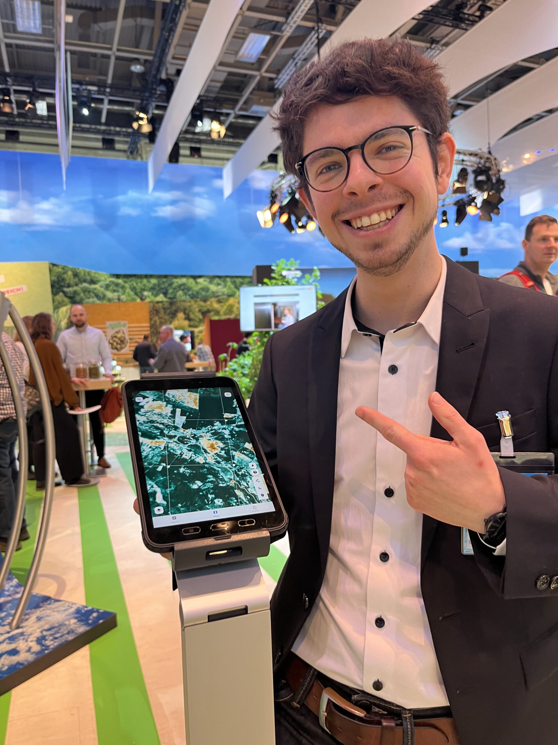
Among these is a data product that compares current crop plant health to a long-term average. The information is calculated from optical satellite imagery, enabling farmers to monitor and assess the development of their fields remotely, with the help of Earth observation. The data layer is included into the FieldMApp, a mobile application for the use by farmers that was displayed running on a tablet at the booth. This work is a joint achievement with DLR institutes in Oberpfaffenhofen and Jena, who provide input data and develop the app, while our Earth Observation Research Cluster with its expertise in datacubes takes care of the data processing.
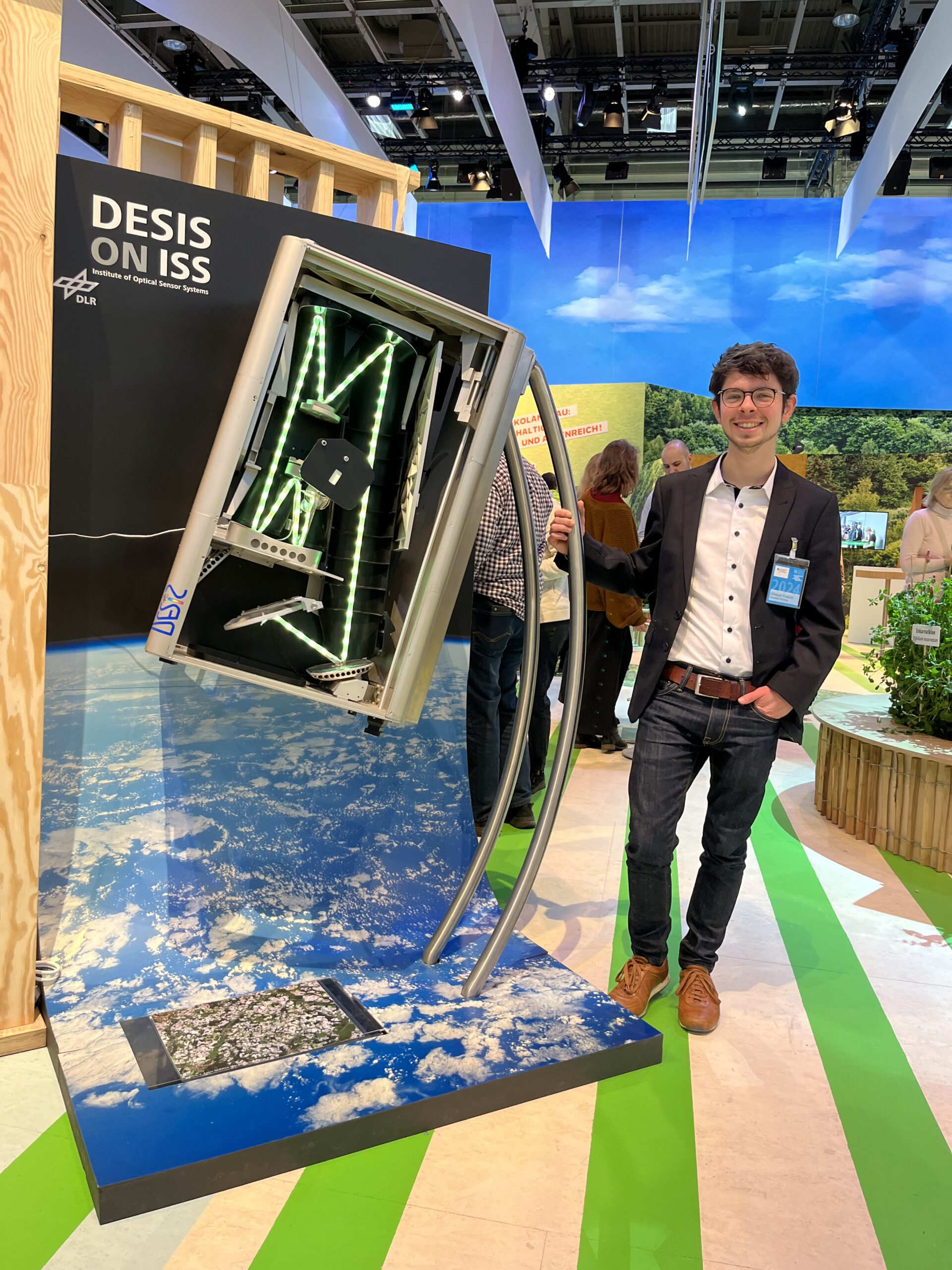
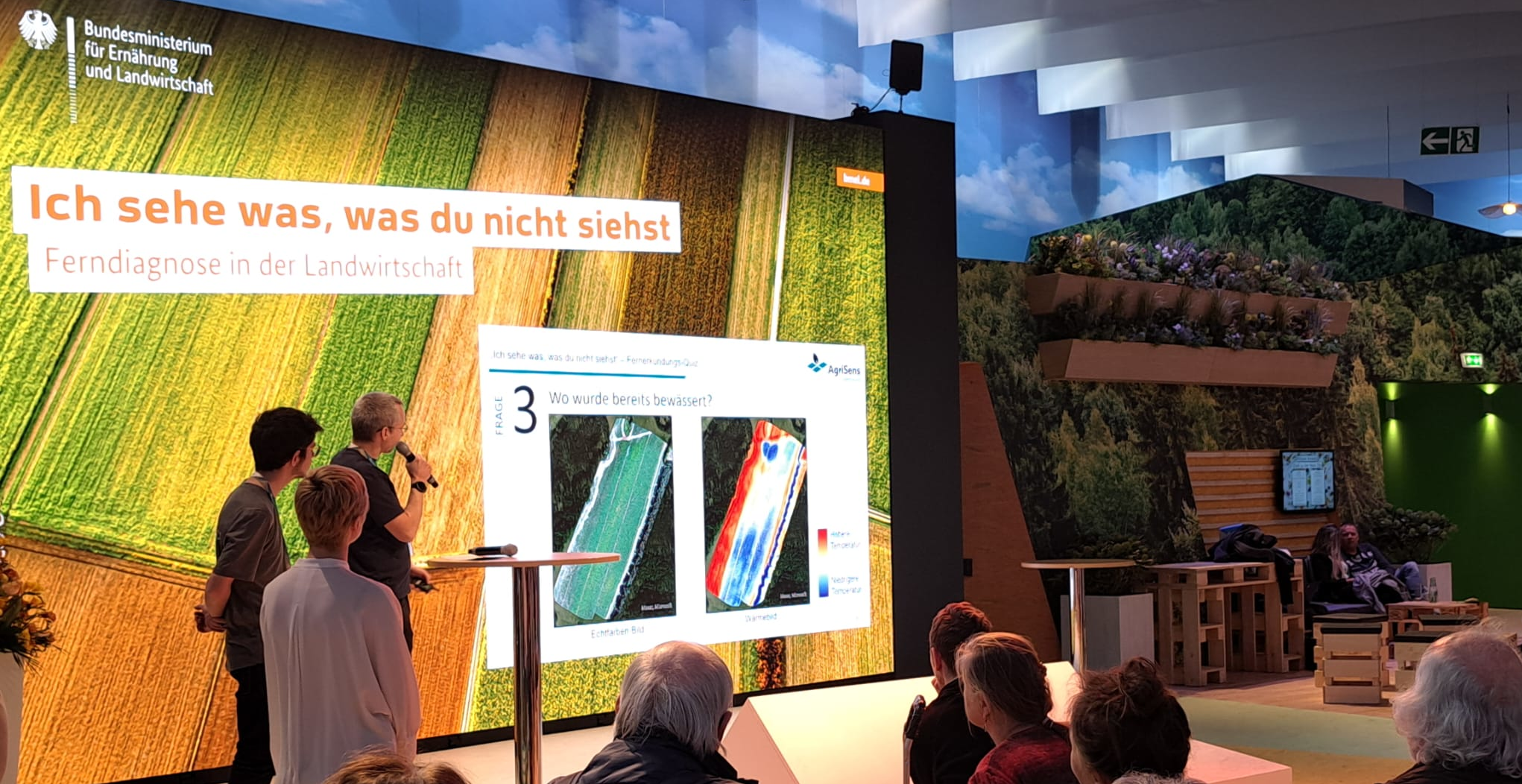
Next to showcasing project outcomes, the team also engaged in general education about remote sensing. For this, the real-sized model of a hyperspectral sensor was a big eyecatcher at our booth, which attracted a lot of interest among the visitors. Another highlight was the quiz event that Christoph held on the main stage of the hall, together with Thomas Piernicke from the GeoForschungsZentrum (GFZ) Potsdam. They prepared images from 10 real-world use cases and challenged the audience to spot with their own eyes what we extract with our remote sensing algorithms. The visitors did quite well with this hard task, but were happy to take home the message that remote sensing can help us humans to see more and easier what happens on our planet!