EUSI meets GZS

EUSI meets GZS

January 15, 2025

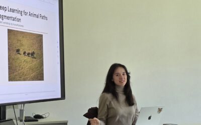
Following the European Space Imaging Conference (EUSI) in December 2024 (DLR and EORC contributed to the conference. We reported on this – please see here: https://remote-sensing.org/keynote-presentation-at-eusi-conference-2024/), the long-standing partners met again in Oberpfaffenhofen to explore joint projects. Anica Huck and Silvester Fischer from EUSI (https://www.euspaceimaging.com/) visited the ‘Georisks and Civil Security (GZS)’ department at the German Remote Sensing Data Center (DFD) on the 14th of January 2025 and discussed existing and future projects.
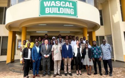
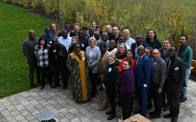
 

you may also like:

Super-Test-Site Würzburg meeting

Super-Test-Site Würzburg meeting

The team of our "Super-Test-Site Würzburg" consortium (University of Würzburg, the Karlsruhe Institute of Technology, the Friedrich-Alexander-University Erlangen-Nürnberg, Leibniz-Institute for Länderkunde in Leipzig  and the German Aerospace Center)...

MainPro Project Meeting: Next Project Phase Launched

MainPro Project Meeting: Next Project Phase Launched

On Friday, November 21st, a MainPro project meeting was held to exchange ideas with our cooperating small and medium-sized enterprises (SMEs). Within our MainPro project, we aim to identify the changes caused by climate change in the Main Valley and its surroundings...

HABITRACK: New Project for Predicting Vector-Borne Diseases

HABITRACK: New Project for Predicting Vector-Borne Diseases

We are very pleased to announce the successful acquisition of the third-party funded BMFTR project HABITRACK. The proposal was led on the EORC side by Ariane Droin and Hannes Taubenböck, together with strong partners from research, medicine, and public health:...

Visit at the Institute for Geoinformatics (IFGI) at University of Münster

Visit at the Institute for Geoinformatics (IFGI) at University of Münster

Two days ago, our PostDoc Dr. Jakob Schwalb-Willmann visited the Institute for Geoinformatics at University of Münster to give a talk at IFGI’s GI Forum titled “Can animals be used to classify land use? Employing movement-tracked animals as environmental informants using deep learning”.

Share This