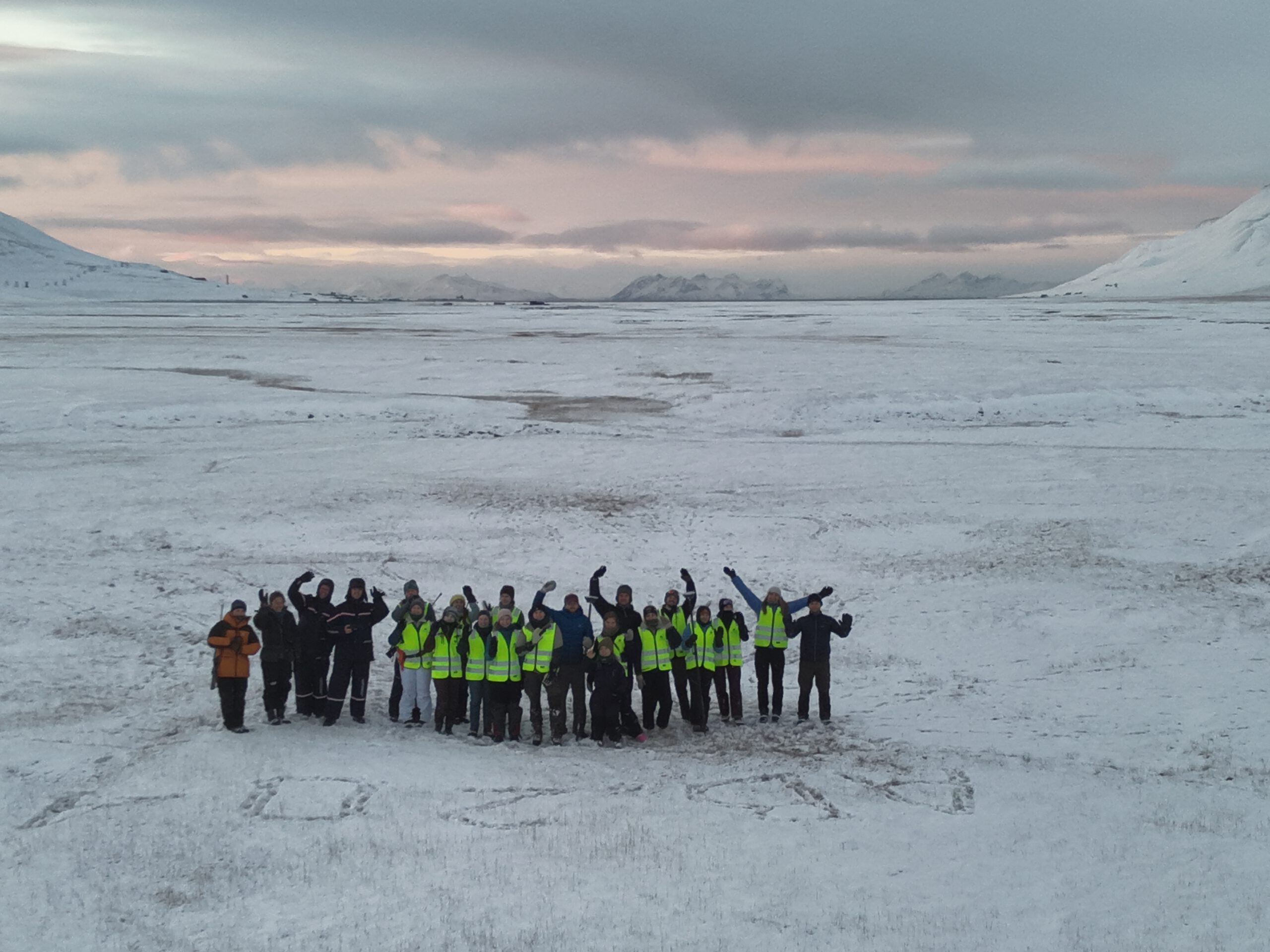
As part of their current research and teaching stay at the University Centre in Svalbard (UNIS), Dr. Jakob Schwalb-Willmann and Sebastian Buchelt held a guest lecture on UAV remote sensing for Arctic population ecology, showcasing the use of remote sensing for ecology research. Invited by Assoc. Prof. Larissa Beumer, the three-day guest lecture was part of her international UNIS bachelor course on Arctic population ecology (AB204).
On the first day, students were introduced into UAV (drone) remote sensing and its applicability for detecting, counting and mapping animals to estimate animal populations, such as Svalbard reindeer, Svalbard‘s only grazing mammals. Students were presented different sensing and mapping methods, UAV platforms as well as the effects of flight parameters such as flight altitude or flight speed on the quality and resolution of the acquired data.
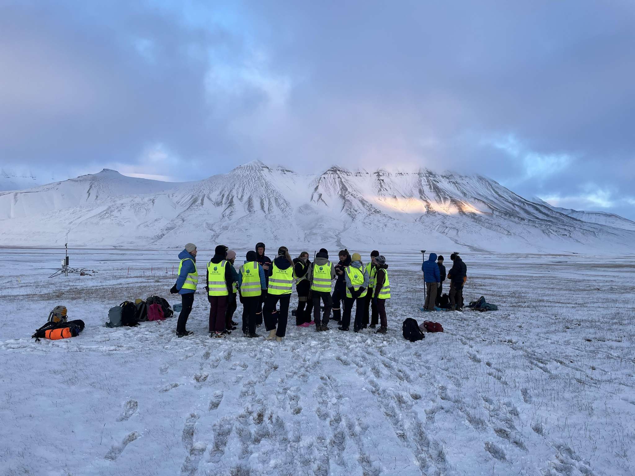
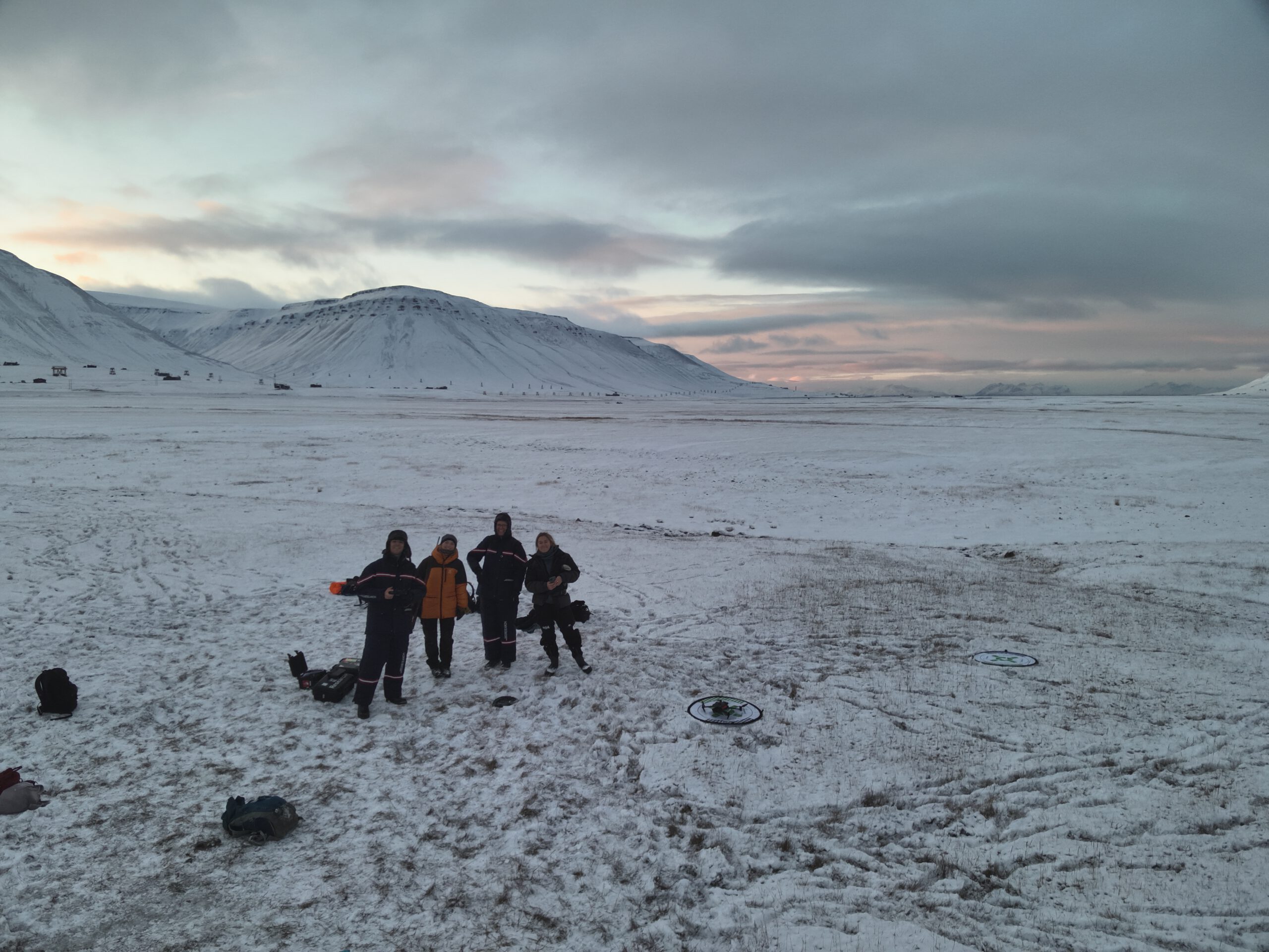
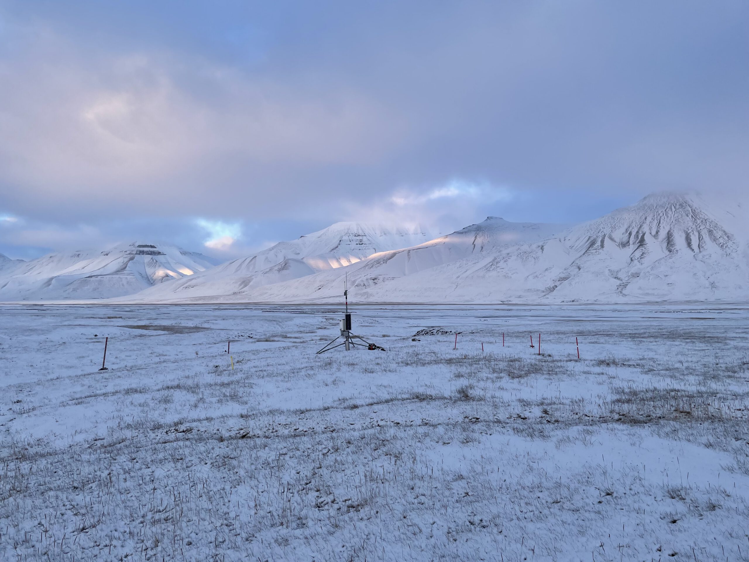
In the afternoon, the group went out into the Tundra, supported by our EAGLE MSc. student and UNIS research assistant Ronja Seitz, to collect data in Adventdalen – not far away from the Longyearbyen settlement. There, students had the task to simulate reindeer foraging behaviour by pretending to be reindeer themselves. For this, they used their knowledge gained in the weeks ahead of the UAV remote sensing course segment on how reindeer interact with and select resources in their environment. Employing two drones, students were shown how to map the area of the experiment using RGB and thermal sensors. In addition, they learned how to use differential GNSS to measure their exact positions during the experiment, making use of Real-Time Kinematics (RTK) provided through the Svalbard ETPOS network. The aim of the exercise was to collect data to later analyse whether the selection decisions made by the reindeer-imitating students could be explained from the acquired environmental data and to model reindeer selection/habitat use.
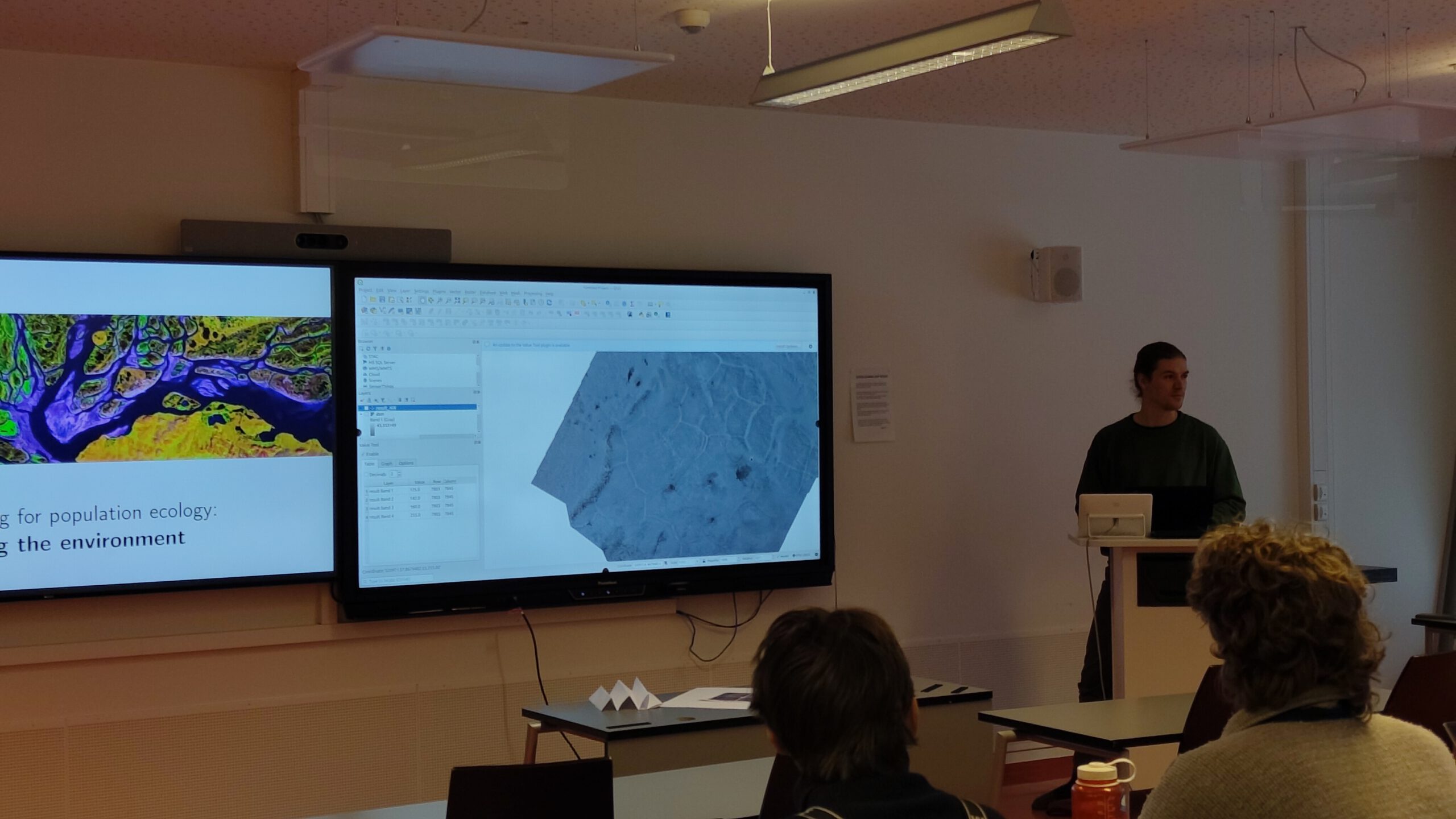
On the second day, back in the classroom, students learned how UAV remote sensing data can be used to describe the environment for being able to model relationships between animal occurrences and environmental covariates. For example, students were introduced to indices such as the Normalized Difference Vegetation Index (NDVI) or the Normalized Difference Snow Index (NDSI), indicators for the presence of photosynthetically active vegetation and snow coverage. In addition, they learned how UAV missions are planned, which regulations apply and how collected images are converted into geo-spatial maps (orthomosaics) using photogrammetric methods such as structure-from-motion (SfM).
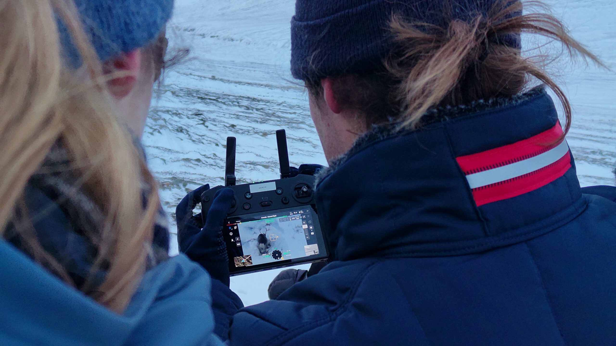
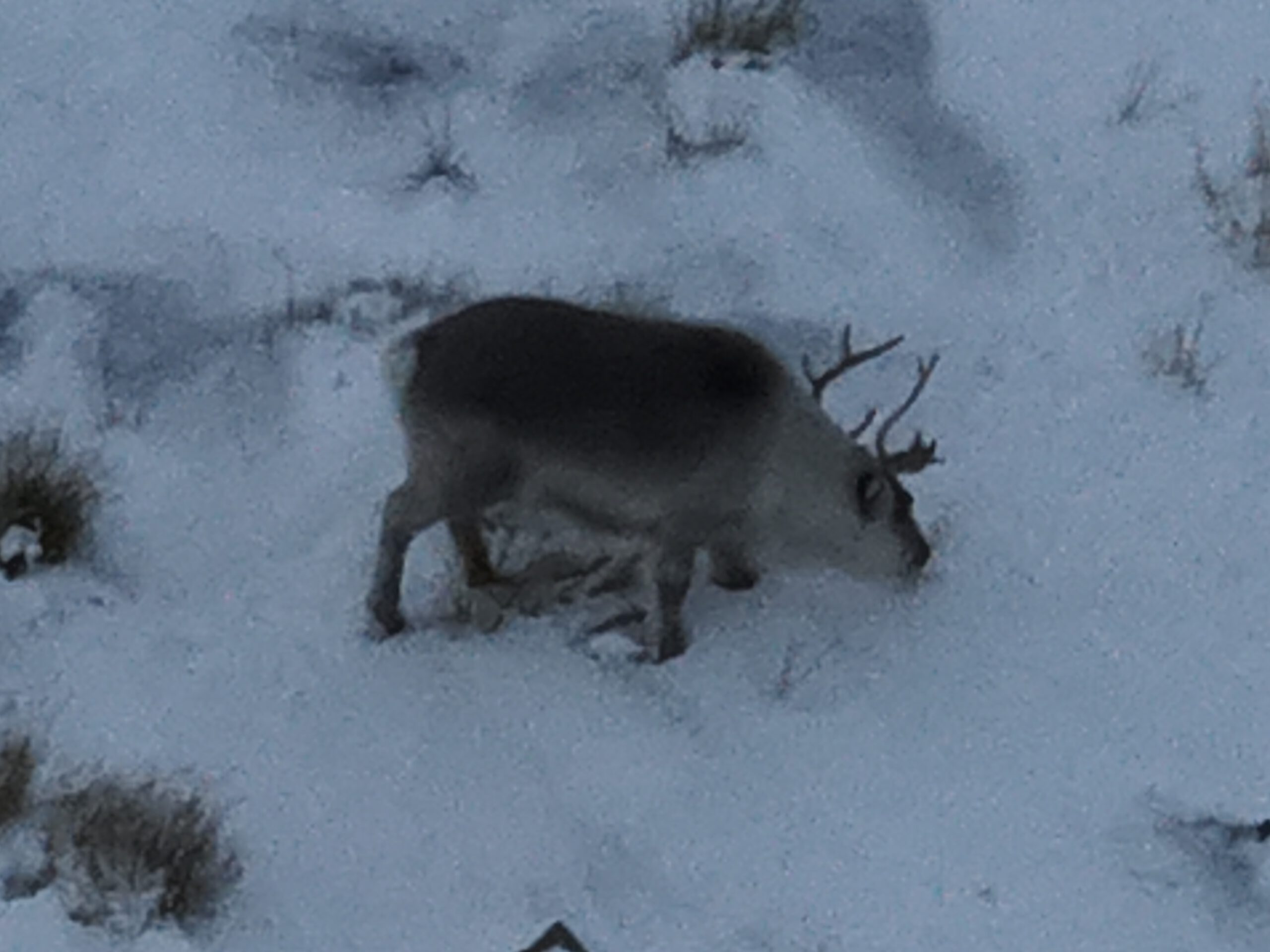
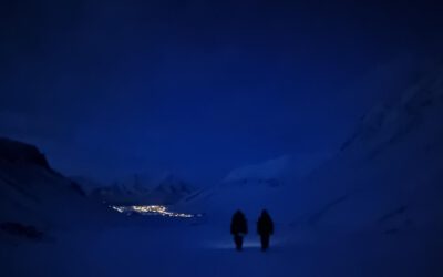
In the afternoon, the team and the students went out again into the snow-covered landscape, this time to the valley of Todalen. There, the students were shown how to find, identify and classify reindeer on the ground, e.g. using binoculars, and from the air, using drones. This time, real Svalbard reindeer (not just student-simulated ones) were observed. In addition to photographic and videographic acquisitions of reindeer grazing in the snow, the area was also mapped using a thermal drone to later see how heat signatures of the animals can be used to derive their locations.
On the last and final day of the course, the group learned how to analyse the collected data. Our lecturers showed the students how to work with spatial point and spatial image data and how to model reindeer selection/habitat use. For this, Jakob Schwalb-Willmann introduced the students to spatial statistics, e.g. point pattern analysis for quantifying the distribution of reindeer using methods such as Clark Evan‘s test, Ripley’s reduced second moment function K or kernel density estimations. In addition, the students learned how to fit Generalized Linear Models (GLMs) on UAV-derived remote sensing data for modelling selection and predicting habitat use. In the end, the students were able to fit their own selection models and to therefrom create maps that showed areas of higher and lower selection probability within the experiment area.
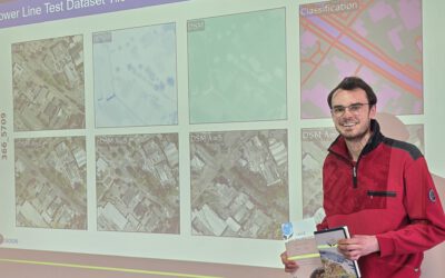
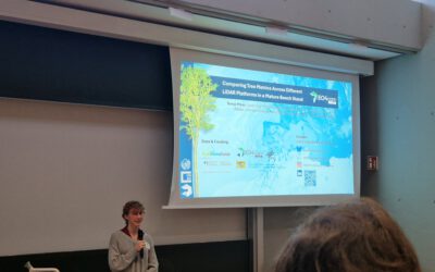
The two-week research and teaching stay on the high-arctic island has been part of the University of Würzburg‘s collaborative research efforts in the domain of UAV remote sensing for ecology research in the High Arctic. The Earth Observation Research Cluster‘s (EORC) research initiatives on Svalbard are coordinated by the EORC UAS team, led by Dr. Mirjana Bevanda, and has been contributed to by several EORC researchers, including Antonio J. Castaneda Gomez, Elio Rauth, Dr. Jakob Schwalb-Willmann, Sebastian Buchelt and Dr. Martin Wegmann. In addition, several of our EAGLE MSc. students have been staying on Svalbard in recent years, conducting internships, small research projects or even their Master theses while living and working at one of the highest-latitude settlements in the world.