Internship Presentation: Application of synthetic aperture radar (SAR) data: Case study in flood mapping in Costa Rica and technical capacity building of the PRIAS team

Internship Presentation: Application of synthetic aperture radar (SAR) data: Case study in flood mapping in Costa Rica and technical capacity building of the PRIAS team

September 5, 2024

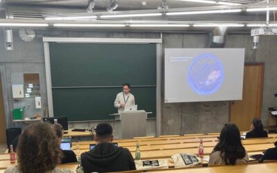
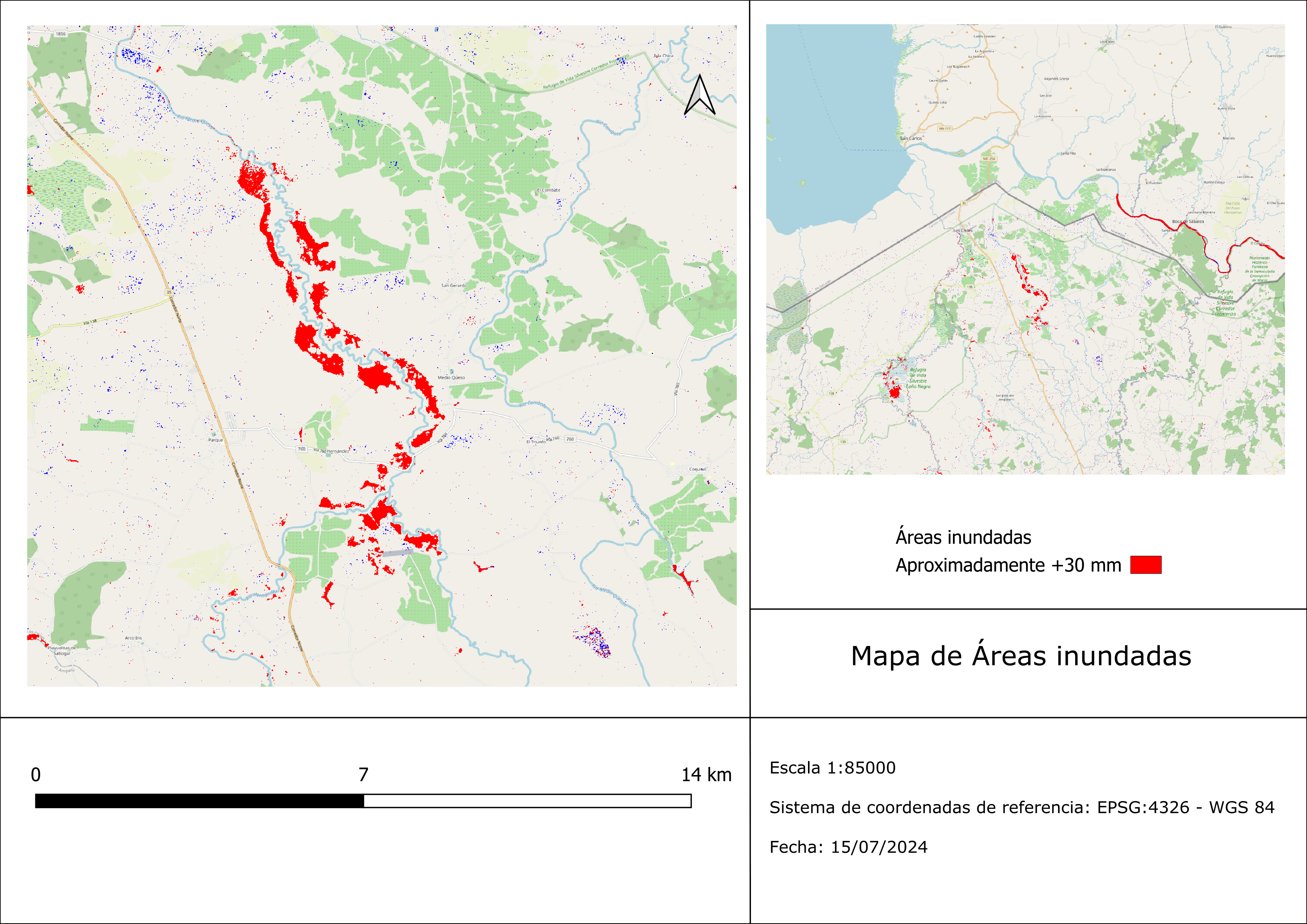
On October 01, 2024, Ariana Sofía Argüello Cordero will present her internship ” Application of synthetic aperture radar (SAR) data: Case study in flood mapping in Costa Rica and technical capacity building of the PRIAS team” at 12:00 in seminar room 3, John-Skilton-Str. 4a.
From the abstract: Floods are considered one of the most dangerous natural hazards. Their intensity and frequency has increased in recent years worldwide due to climate change and urbanization. Hence, the detection and mapping of floods using SAR synthetic aperture radar imagery in this case in Costa Rica allows effective monitoring and identification of flooded areas for future events in the country and their early risk assessment. In tropical areas, cloud cover is abundant and constant, and the application of optical sensors is limited, therefore, the use of radar images removes the cloudiness limitation and allows the continuous acquisition of data. In Costa Rica there are areas exposed annually to recurrent extreme flooding events, therefore, a particular extreme flooding event was chosen during the current year to highlight the advantages of using SAR images under cloudy and rainy conditions along the Rio Frio hydrological watershed in the extreme north of Costa Rica.
1st supervisor: Dr. Maninder Singh Dillon Hosting institution: Geospatial Research Laboratory PRIAS

you may also like:

Project meeting NetCDA

Project meeting NetCDA

The first annual NetCDA project meeting took place in Würzburg on November 21st, 2024. Together with all German and West African partners from the West African Science Service Centre on Climate Change and Land Use (WASCAL), we have laid the foundation for our future...

The EORC can also be found on bluesky

The EORC can also be found on bluesky

We are active on various social media channels but in the last weeks we monitored a very strong increase of scientists joining bluesky and following our activities on that platform. Therefore we decided to be more active on bluesky and post regular news about our...

Blender GIS introduction

Blender GIS introduction

Within out EAGLE Earth Observation M.Sc. we also cover software applications which might not be used on a regular basis within our field of research but are sometimes highly useful to display our spatial data in a visually appealing way - and also potentially provides...

EAGLE presentation by Gökçe Yağmur Budak

EAGLE presentation by Gökçe Yağmur Budak

On November 26, 2024, Gökçe Yağmur Budak will present her internship results on " Leveraging Data-Driven Approaches for Seismic Risk Assessment in Istanbul " at 12:30 in seminar room 3, John-Skilton-Str. 4a. From the abstract: This internship aims to create time...

JURSE – deadline for paper submission extended

JURSE – deadline for paper submission extended

JURSE - Joint Urban Remote Sensing Event   The 17th International Conference on Joint Urban Remote Sensing (JURSE), organized by Higher School of Communication of Tunis (SUP'COM) will take place in Tunisia from 4 to 7 May 2025. https://2025.ieee-jurse.org/ ;...