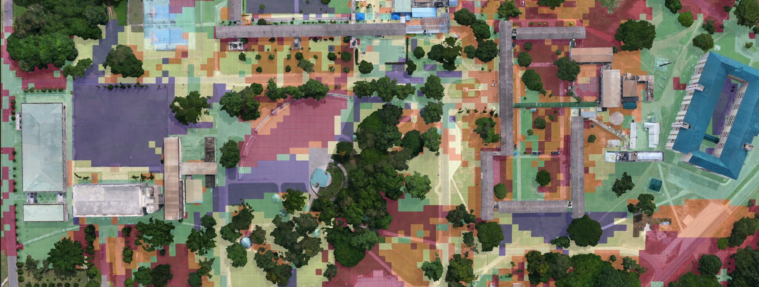
Abstract: As integral as internet has become in our daily lives, understanding and optimizing Wi-Fi connectivity plays a crucial role in enhancing user experience. This project leverages on using UAS data and 3D GIS to create a comprehensive Outdoor Wi-Fi Connectivity Map providing insights to stakeholders such as Managements of Institutions, Smart City Planners, and Internet Service Providers. The study focuses on the campus of Kwame Nkrumah University of Science and Technology (KNUST), serving as a representative academic setting, where we evaluated the outdoor Wi-Fi connectivity. The resulting Wi-Fi connectivity map offers a detailed representation of signal strengths, dead zones, and overall network coverage. Beyond highlighting connectivity in this academic setting, the approach demonstrates the broader applicability of UAS data for evaluating and optimizing outdoor Wi-Fi services.
Hosting Institution: Kwame Nkrumah University of Science and Technology Supervisor: Dr. Michael Thiel


