Internship Report on Tuesday, April 23 at 12:00

Internship Report on Tuesday, April 23 at 12:00

April 22, 2024

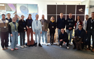
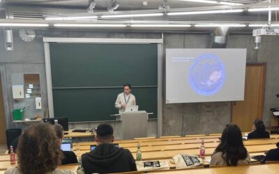
On Tuesday, April 23rd Elly Schmid will present her internship at 12:00 in seminar room 3, John-Skilton-Str. 4a. :

From the abstract:

The internship was carried out as part of the HEATS-(Urban heat) Project of the Georisks team at the Earth Observation Center, which deals with the quantification of urban heat exposure through high-resolution remote sensing. My tasks included data processing and additional data acquisition. The main goal was to develop an object-based image segmentation and classification of the urban research area for later integration into a land use regression approach. I will report on the tasks I worked on and my overall experience during the internship.

Hosting Institution; Georisks Team at DLR – Deutsches Zentrum für Luft- und Raumfahrt

Supervisor: Dr. Maninder Singh Dhillon


you may also like:

Science Communication training with our NetCDA partners

Science Communication training with our NetCDA partners

Friday last week we had the chance to offer our NetCDA guests and partners various workshops on science communication. Depending on their previous knowledge, the participants in these workshops were able to expand their skills in the external representation and...

Project meeting NetCDA

Project meeting NetCDA

The first annual NetCDA project meeting took place in Würzburg on November 21st, 2024. Together with all German and West African partners from the West African Science Service Centre on Climate Change and Land Use (WASCAL), we have laid the foundation for our future...

The EORC can also be found on bluesky

The EORC can also be found on bluesky

We are active on various social media channels but in the last weeks we monitored a very strong increase of scientists joining bluesky and following our activities on that platform. Therefore we decided to be more active on bluesky and post regular news about our...

Blender GIS introduction

Blender GIS introduction

Within out EAGLE Earth Observation M.Sc. we also cover software applications which might not be used on a regular basis within our field of research but are sometimes highly useful to display our spatial data in a visually appealing way - and also potentially provides...