Having informal coffee meetings and talking about work and beyond are a common part at our Earth Observation Research Cluster (EORC) – these open, free-flowing discussions about a variety of topics sometimes develop into new interesting ideas, from novel research approaches to new methods of analysis. And sometimes such talks develop into something new: like the idea to redo the informal coffee discussion as a real interview and this way allow other people to get to know about these discussions which do happen in our kitchen or in our lounge area.
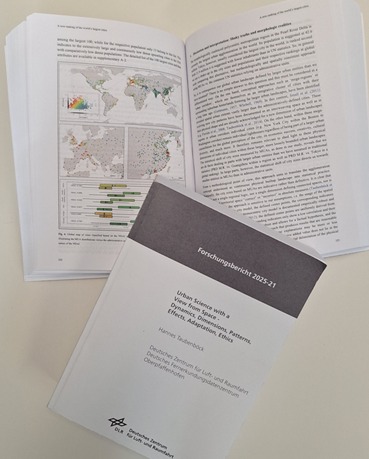
Dr. Martin Wegmann sat down with Prof. Dr. Hannes Taubenböck at our Earth Observation Research Cluster lounge to discuss his recent work on urbanization, compiled in a comprehensive research report titled “Urban Science with a View from Space – Dynamics, Dimensions, Patterns, Effects, Adaptation, Ethics.”
Martin:
Hannes, I read your recent research report. First congratulations! But why did you do it? Did you have to compile this extensive research overview on urbanization or was it a pure fun project?
Hannes:
Thank you very much, Martin!
Well, to be honest, it all started in a moment of post-vacation optimism in September 2024. I came back full of energy, thought “let’s just draft a quick synthesis” to see whether new thoughts and perspectives on the field of “urbanization” emerge. And, as usual, I underestimated what I was getting myself into. It’s a classic case of academic naivety — probably a necessary trait for tackling big projects like this. Without it, one would probably never start. So, to come to your question, I was neither forced to compile it, nor was it pure fun, but I am glad that it is finished now and hope it brings some new perspectives.
Martin:
The report’s title alone is quite the mouthful: Urban Science with a View from Space – Dynamics, Dimensions, Patterns, Effects, Adaptation, Ethics. Sounds like six dissertations in one.
Hannes:
(Laughs) It does sound a bit ambitious and overconfident, doesn’t it? The title attempts to reflect the thematic breadth — I selected 24 studies, each examining different aspects of urbanization. Individually, they’re valuable, but when read together, a broader, more coherent picture does emerge. That’s what I was after. Often, these individual studies remain isolated — and I felt it was time to connect the dots, especially within our own work of the team at the DLR Earth Observation Center and the Earth Observation Research Cluster here at our University in Würzburg.
Martin:
As you know, my focus is more on the non-urban. Convince me — why should someone like me care about cities?
Hannes:
Fair question. But here’s the thing: 58% of the global population already lives in cities, and that number’s only going up. Cities are where human life, activity, and impact are most concentrated — economically, politically, socially, ecologically. From land consumption to greenhouse gas emissions, urban areas shape our world more than ever. And on a personal level, even you green lover, Martin, navigate your daily life through urban design — whether it’s your commute, your walk to the coffee shop, or your visit to the neihboring green space. So yes, even non-urban researchers are often urbanites in the end.
Martin:
(Laughs) Okay, okay, point taken. And in recent years I already engaged in various urban projects because I see the relevance! The report is quite long: what stood out to you most from this compilation?
Hannes:
Yes, it is quite long – to approach the report, the attention span must be more than the length of a Tweet (laughs).
What stood out the most? Several things. First, the sheer pace and scale of urbanization globally is staggering — far beyond what we see in Germany. For example, around 65 million people now live in the mega urban landscapes of the Pearl River Delta that didn’t exist a few decades ago. Or, despite all the promise, we’ve hardly begun to leverage urbanization’s potential for spatial efficiency. We found that urban densities decline while the cities expand. In other words, the possibilities to house all global urban dwellers in the future without new urban land is given, but we are not implementing it. We know cities can adapt to change — but whether they will, remains uncertain. Showing possibilities for urban adaptions was another goal here that stood out to me. And, we must also acknowledge the ethical dimension: just because something is technically possible, doesn’t mean it should be done. These are important reminders as we move forward.
Martin:
Your report also includes a roadmap for future research directions in urban remote sensing. What’s the core message there?
Hannes:
Well, in a paper back in 2019, we identified four key strategic directions: high temporal resolution, urban heterogeneity, 2D and 3D urban form, and linking remote sensing with emerging urban data. These remain relevant — but I wanted to expand now beyond them.
I argue that urbanization should be seen as a planetary process — it’s no longer confined to space-limited models. Also, we need more multidimensional analyses and genuine interdisciplinary approaches. Some avenues are still unexplored simply because we, the remote sensing experts, lack the specific domain knowledge to pursue them or to even ask the right questions.
And there’s a communicative challenge: how do we describe the urban spatial patterns we detect and analyze? We rely heavily on imagery, but we lack a shared language to articulate what we see. Lastly — and crucially — ethics must be more deeply integrated. Scientific curiosity and technical capability aren’t enough; we need to think about the consequences of our methods and tools.
Martin:
I appreciate how you link technical depth with ethical awareness. That’s often missing in remote sensing discussions. Reports like yours are rare — not many people take the time to weave together fragmented research into a larger narrative. Can we expect more from you in this format?
Hannes:
(Laughs) Never say never! Though I did write in the preface of my Habilitation that it was a once-in-a-lifetime endeavour…. I obviously didn’t stick to it. Let’s just say: right now, the pain of putting this one together is still too fresh in my bones to make any promises. But who knows what another holiday might inspire?
Martin:
(Laughs) We’ll check in after your next vacation then. Thanks for the conversation, Hannes — and congratulations again on the report.
Hannes:
Thanks, Martin. Always a pleasure.
The research report is freely available here: https://doi.org/10.57676/75k5-re54
Here is the abstract:
In 2024, 58 % of the global population is urban. Cities, whether large or small, are the primary living space for the majority of humanity and are political, social, economic, cultural and ecological centers. The way we design cities has an impact on all these issues with the built city as the most direct feature. The structures of the built city and the patterns of use have a huge impact on an individual and a societal level. On individual level, the structures define everyday rhythms, behaviors and perceptions. On societal level, the relevance of spatial structures and patterns of urban land is given due to their impact on land consumption, greenhouse gas emissions, the urban heat island effect, mobility types, among many other issues. In recent years, rapid developments in data technology, computing power and methodologies in remote sensing and other geographic domains have made it possible to analyze urban structures empirically across the globe with an unprecedented amount of data. In this research report, the built urban landscape around the globe is documented in its temporal development, the emerging dynamics are systemized, urban forms are compared, effects of the emerging spatial patterns are evaluated and capabilities for urban adaptation are presented. An underlying theme is the term ‘urban’ in itself, how it can be defined theoretically and conceptionally, and how it can be measured and mapped in spatial domains. The methodological and thematic works are also evaluated from an ethical perspective. The research report is based on 24 published papers and a synthesis that creates from the individual studies a road map for future research paths in urban remote sensing.