Over the years, we have regularly contributed to the Land Use Symposium (DFNS 2026 – 18. Dresdner Flächennutzungssymposium) of the Leibniz-Institut für ökologische Raumentwicklung (IÖR), which takes place in Dresden on 23rd and 24th of June 2026. See the program here: https://dfns2026.ioer.info/programm.
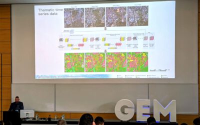
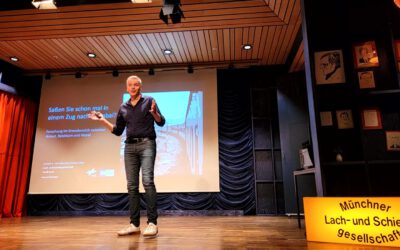
This year, our professor, Hannes Taubenböck, had the honor of delivering the keynote address to open the symposium. The title of the keynote lecture was ‘Siedlungsdichten, Grünstrukturen, Zersiedelung: Entwicklungen, Effekte und Adaptionspotentiale aus globaler und nationaler Perspektive [engl. Settlement Densities, Green Infrastructure, Urban Sprawl: Developments, Effects and Potential for Adaptation from a Global and National Perspective]’.
In this presentation, Hannes outlined our research on settlement growth, settlement structures, slum development and ghost towns at a global level. He also highlighted our work on the degree of urbanization, accessibility, land consumption and possible urban adaptation in Germany.
Here is the abstract of the presentation: Each of us lives somewhere – in one way or another. Whether in densely populated urban areas, less densely populated, sub- or peri-urban areas, or rural regions. The structures of communal living have a wide-ranging impact on us as individuals, on social developments and on political and planning debates: How accessible are everyday amenities, what is the level of land consumption, and do heat islands that pose a health risk form on hot summer days? What potential for adaptation exists, and how can land-use conflicts be addressed? These illustrative questions are at the heart of heated debates in the socio-political arena. By combining remote sensing data, geodata from public institutions and other freely accessible geodata, spatial analyses and modelling approaches enable the development of empirical geoinformation, thereby facilitating knowledge-based discourse.
On the one hand, global trends in urban settlement structures over the last few decades in comparison with developments in Europe and across Germany are examined and contextualized. Through cartographic and quantitative analyses, multi-temporal settlement dynamics and intra-urban changes in settlement structures reveal how cities are changing in terms of size and density. Furthermore, models highlight the potential that could be realized in today’s cities through structural adaptation measures, such as infill development. On the other hand, the presentation focuses on the national level. To this end, the effects of urban structures and adaptation options are quantified and classified in a city-by-city comparison: the focus is on accessibility to everyday amenities in relation to the ’15-minute city’ urban planning concept, the impact of settlement structures on land use, a city ranking of green infrastructure, as well as urban heat islands and the corresponding exposure of different population groups. Using the example of urban heat and potential adaptations for cooling through green infrastructure, a modelling approach demonstrates which adaptation measures are feasible.