Kick-Off meeting AgriSens Demmin 4.0 extension phase

Kick-Off meeting AgriSens Demmin 4.0 extension phase

July 7, 2023

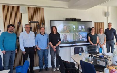
The project AgriSens Demmin 4.0 met these days in Halle to kick-off the extension phase of the project. Our colleague Christoph Friedrich presented in cooperation with Johannes Löw from University of Halle the status and plans of our project activities.

In AgriSens Demmin 4.0 we set-up and manage the data cube infrastructure for data provision and visualisation. 

you may also like:

New Team Member at the EORC: Sonja Mass

New Team Member at the EORC: Sonja Mass

Sonja Maas joined the Earth Observation Research Cluster (EORC) in October 2025 as a research assistant for the EO4CAM project. After finishing her bachelor's degree in forestry, Sonja Maas enrolled in the EAGLE M.Sc. program at the University of Würzburg, where she...

Field Excursion to Owabi Wildlife Sanctuary

Field Excursion to Owabi Wildlife Sanctuary

As a highlight of the third day of our training at KNUST on the use of remote sensing for biodiversity conservation, we took our participants on a field excursion to the nearby Owabi Wildlife Sanctuary. Guided by experienced local experts, we explored the area and had...

Expedition to Central Asia in the frame of the FluBig project

Expedition to Central Asia in the frame of the FluBig project

Since mid of September, a team from the Earth Observation Research Cluster is on a field expedition at the Naryn River in Kyrgyzstan. The team is acquiring data on vegetation and hydro-geomorphic features for the DFG funded "FluBig" project which is dedicated to...

EOCap4Africa training in Kumasi

EOCap4Africa training in Kumasi

Today, we launched the testrun for our MSc module on Remote Sensing for Biodviversity Conservation which forms part of the EOCap4Africa project (funded by the Federal Agency of Nature Conservation) at the Kwame Nkrumah University of Science and Technology (KNUST) in...

Final workshop on research project OptiPlan

Final workshop on research project OptiPlan

Final workshop on research project OptiPlan (Ein innovatives KI-basiertes Planungstool zur Verkehrserfassung für nachhaltiges Flächenmanagement mittels Kamera- und Satellitenbilddaten)On September 19, 2025, the consortium of the OptiPlan project (German Aerospace...