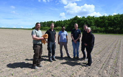
![]() “This field has been abandoned approximately 30 years ago” – such statements can be heard quite often when one talks with farmers in Khorezm, one of the largest irrigated agricultural landscapes in Central Asia. In this region, vast irrigation systems were installed during Soviet times, but after breakdown in the 1990s many fields were finally abandoned for many reasons (e.g. soil salinization, insufficient water supply). However, the spatial extent and timing of cropland abandonment in many regions in Central Asia remain unknown.
“This field has been abandoned approximately 30 years ago” – such statements can be heard quite often when one talks with farmers in Khorezm, one of the largest irrigated agricultural landscapes in Central Asia. In this region, vast irrigation systems were installed during Soviet times, but after breakdown in the 1990s many fields were finally abandoned for many reasons (e.g. soil salinization, insufficient water supply). However, the spatial extent and timing of cropland abandonment in many regions in Central Asia remain unknown.
The LaVaCCA project aims at shedding more light on these issues, which could allow land managers to make better informed decisions about their land, or to propose alternative land uses such as pasture or afforestation on formerly abandoned fields – once these will have been identified. Staffers from different institutions in Central Asia (SIC-ICWC, KRASS, Al´Farabi University) recently visited the test sites in Khorezm together, where important information is collected during the project runtime (2015-2017) for calibration and validation of diverse remote sensing based methodologies (e.g. yield modelling, crop classification, salinity mapping).
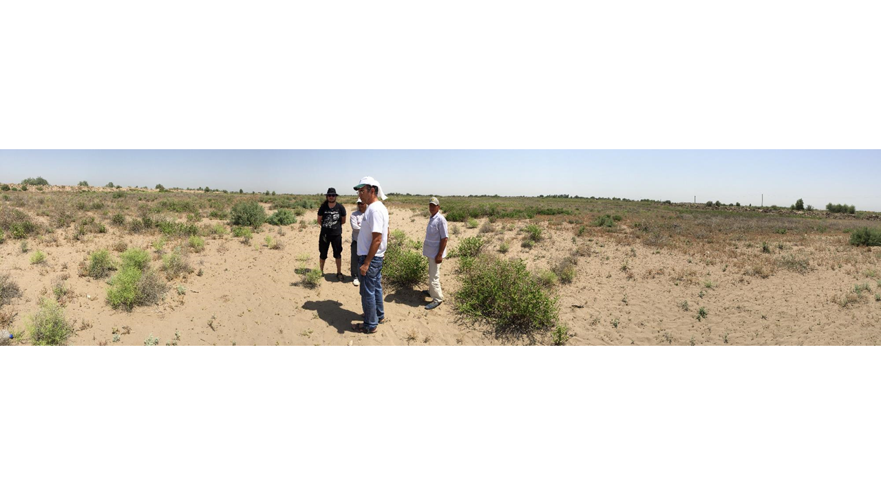
LaVaCCA project partners inspecting abandoned croplands in Khorezm, Uzbekistan (Foto: Dr. Fabian Löw)
Three PhD students from Usbekistan, Kazakhstan, and Germany investigate the recent and past status of agricultural areas in the lowlands of Central Asia, including Khorezm. They seek to back-trace the past development in order to better understand the various pathways that led to the widespread cropland abdandonment, which was already observed (see recent publication on this issue). Their overall aim is to make use of remote sensing for identifying abandoned fields and explaining their spatio-temporal pattern in order to gain more insight into the drivers of cropland abandonment in Central Asia.