Lecture on Advanced Remote Sensing taught at KNUST in Kumasi, Ghana

Lecture on Advanced Remote Sensing taught at KNUST in Kumasi, Ghana

April 2, 2022

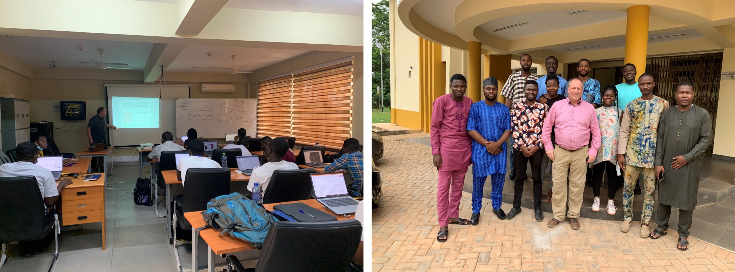
Our staff members Dr. Michael Thiel and Itohan-Osa Abu taught a two-week (21st of March to 01st of April 2022) course on Advanced Remote Sensing at the Kwame Nkrumah University of Science and Technology (KNUST) in Kumasi/Ghana as part of the WASCAL Graduate Program on Climate Change and Land Use. The course addressed students of Batch 5 and aimed at strengthening the students’ competence in the field of remote sensing and giving them the tools to support their own research work. It combined lectures and hands-on sessions with a wide range of topics, such as below:

Optical and radar remote sensing basics, current and important former sensor systems, data access, download and preprocessing, efficient data organization and image processing, spectral indices and feature extraction, image enhancement and interpretation, object-oriented image analysis, time series analysis, state-of-the-art image classification methods, and provision of practical hands-on sessions in R and Google Earth Engine.

The course evaluation was based on practical work on a topic that the students selected by themselves. All students passed the course successfully and we are happy to look forward to further cooperating with the students in the future.

Left: WASCAL Batch 5 students, right: Dr. Michael Thiel (middle) from the Department of Remote Sensing at the University of Würzburg and WASCAL GSP students at KNUST in Kumasi, Ghana.

follow us and share it on:

you may also like:

Drone manufacturer Wingtra visits EORC

Drone manufacturer Wingtra visits EORC

Is it possible to combine the efficiency of a fixed-wing drone with the precision of a laser scanner? That question brought researchers from EORC together with Wingtra, a Swiss company designing and manufacturing fixed-wing UAS, to exchange on UAS research and discuss...

How We Learned to Fly: The Story Behind UAS Research at EORC

How We Learned to Fly: The Story Behind UAS Research at EORC

Every research group that's ever bought a drone has a story about the first one it lost. We're no different. So let's just get that out of the way up front: this is the inside story of how UAS (Unoccupied Aerial System) research grew up at the Earth Observation...

MainPro workshop on TLS and LiDAR UAS

MainPro workshop on TLS and LiDAR UAS

This week, a workshop organized by Sebastian Buchelt within our EFRE project MainPro brought together students, researchers, and interested project partners to explore modern UAV technologies. The workshop took place in vineyards close to Würzburg and gave the...

Ticks from Above: UAS Fieldwork for the MONID Habitrack Project

Ticks from Above: UAS Fieldwork for the MONID Habitrack Project

Forest edges are tricky places. They're where woodland meets open ground, where light and shade trade off every few meters, and where, it turns out, ticks tend to do really well. That last bit is exactly why Dr. Ariane Droin, Sofía García de León, Dr. Jakob...

Visiting Scientists from CIGIDEN R+ (Chile) at DLR-EOC

Visiting Scientists from CIGIDEN R+ (Chile) at DLR-EOC

Our Department Head Prof. Hannes Taubenböck was honored to welcome Prof. Alejandra Stehr from the Universidad de Concepción and Prof. Rodrigo Cienfuegos from the Pontificia Universidad Católica de Chile at the Earth Observation Center (EOC) of the German Aerospace...

MainPro remote sensing analysis products are now available online

MainPro remote sensing analysis products are now available online

Within our interdisciplinary research project MainPro, we aim to analyse potential climate change induced geohazards in the Main valley and its tributaries and develop nature-based solutions for them.  This project involves a large-scale analysis of potential...

Share This