M.Sc. Student Clara Vydra Begins Thesis Field Work on Alpine Water Resources

M.Sc. Student Clara Vydra Begins Thesis Field Work on Alpine Water Resources

July 21, 2025

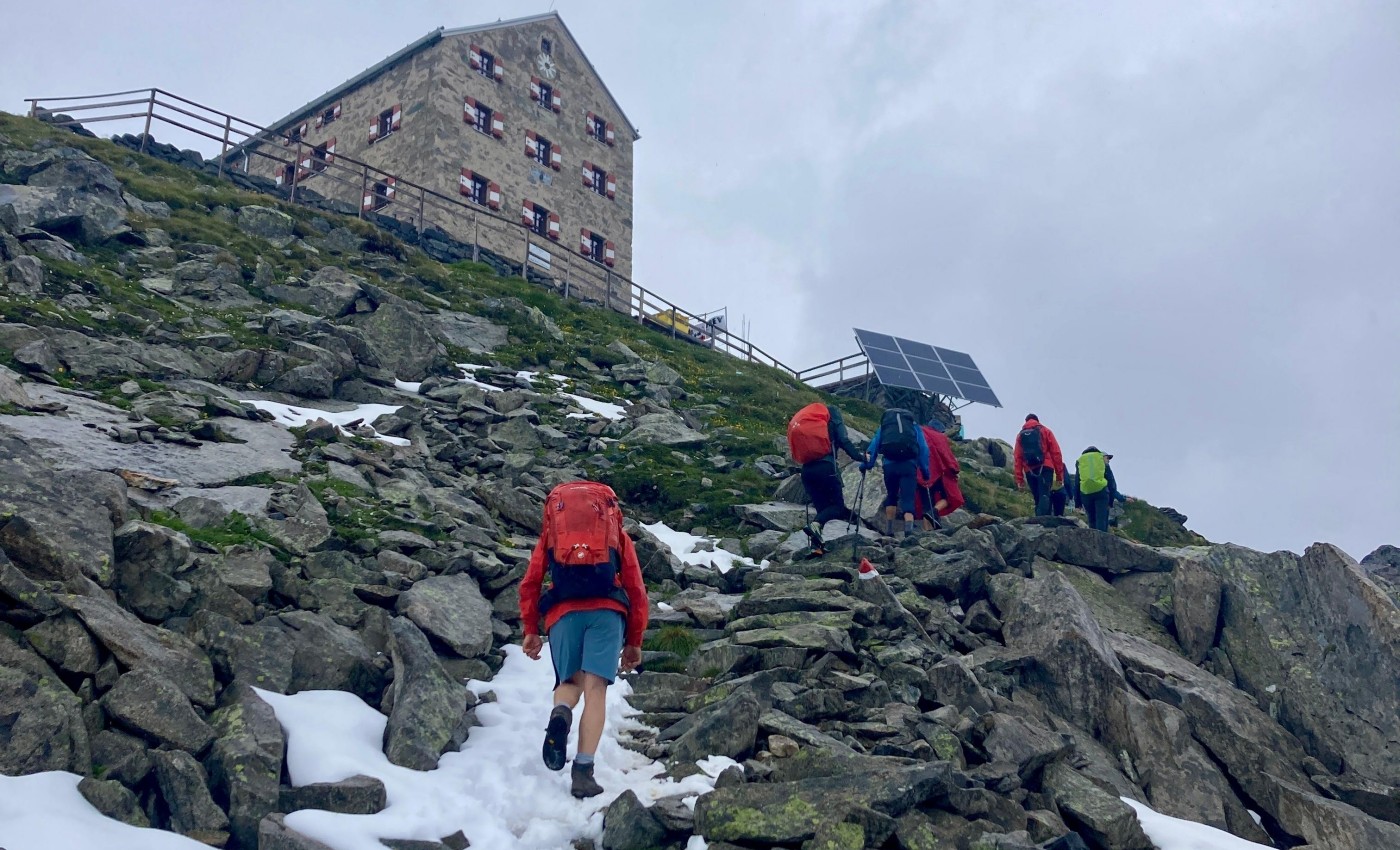
We’re pleased to share that our M.Sc. student Clara Vydra has recently begun her thesis field work in the Austrian Alps in collaboration with the German Alpine Association (DAV) and the German Aerospace Center (DLR). Her research focuses on the impacts of climate change on the cryosphere and subsequent implications for water availability in high alpine environments.
Clara’s study centers around the Prager Hütte, a mountain hut already facing the realities of a warming climate. Last year, the hut was forced to close earlier than planned due to water shortages — a growing concern in many alpine regions. Her work aims to understand the evolving snow and ice dynamics around the hut and how these changes affect local water resources.
Conducting a M.Sc. thesis within EAGLE with a clear application need is what we aim for and we wish Clara continued success and valuable insights during her field campaign.

you may also like:

Expedition to Central Asia in the frame of the FluBig project

Expedition to Central Asia in the frame of the FluBig project

Since mid of September, a team from the Earth Observation Research Cluster is on a field expedition at the Naryn River in Kyrgyzstan. The team is acquiring data on vegetation and hydro-geomorphic features for the DFG funded "FluBig" project which is dedicated to...

EOCap4Africa training in Kumasi

EOCap4Africa training in Kumasi

Today, we launched the testrun for our MSc module on Remote Sensing for Biodviversity Conservation which forms part of the EOCap4Africa project (funded by the Federal Agency of Nature Conservation) at the Kwame Nkrumah University of Science and Technology (KNUST) in...

Final workshop on research project OptiPlan

Final workshop on research project OptiPlan

Final workshop on research project OptiPlan (Ein innovatives KI-basiertes Planungstool zur Verkehrserfassung für nachhaltiges Flächenmanagement mittels Kamera- und Satellitenbilddaten)On September 19, 2025, the consortium of the OptiPlan project (German Aerospace...