Master Defense: Detection of hedgerows and copses in the agricultural landscape of Lower Franconia (Germany) using earth observation data

Master Defense: Detection of hedgerows and copses in the agricultural landscape of Lower Franconia (Germany) using earth observation data

September 9, 2024

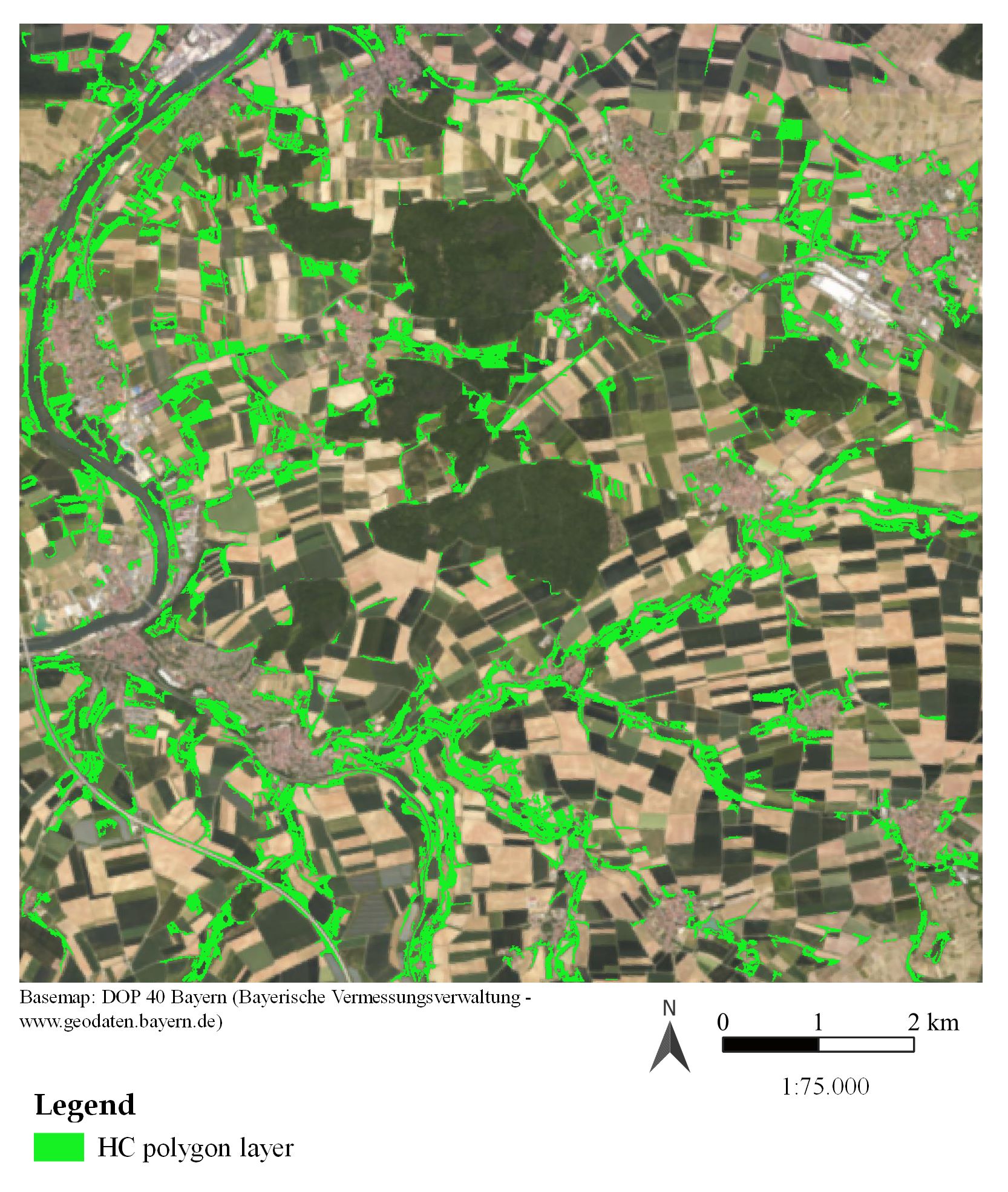
On September 17, Verena Stegmaier will presenter her master thesis ” Detection of hedgerows and copses in the agricultural landscape of Lower Franconia (Germany) using earth observation data” at 12:30 in seminar room 3, John-Skilton-Str. 4a.
From the abstract: Hedgerows play a crucial role in agricultural landscapes by supporting biodiversity, preventing soil erosion, and enhancing ecosystem services such as water regulation and climate mitigation. However, agricultural intensification has led to significant losses of these features, threatening environmental health and biodiversity. This thesis explores the potential of remote sensing data for detecting hedgerows and copses in Lower Franconia. Using a pixel-based classification method with multi-temporal Sentinel-1 and Sentinel-2 data, the research aims to create a polygon layer representing Small Woody Features. Key questions include evaluating the suitability of open-source, medium-resolution satellite data for detecting hedgerows and copses, identifying the most meaningful features for classification accuracy, and comparing the results to very high-resolution datasets such as the DOP Bayern imagery and the Copernicus Small Woody Features layer.
1st supervisor: Prof. Dr. Tobias Ullmann
2nd supervisor: Sebastian Buchelt

you may also like:

Project meeting NetCDA

Project meeting NetCDA

The first annual NetCDA project meeting took place in Würzburg on November 21st, 2024. Together with all German and West African partners from the West African Science Service Centre on Climate Change and Land Use (WASCAL), we have laid the foundation for our future...

The EORC can also be found on bluesky

The EORC can also be found on bluesky

We are active on various social media channels but in the last weeks we monitored a very strong increase of scientists joining bluesky and following our activities on that platform. Therefore we decided to be more active on bluesky and post regular news about our...

Blender GIS introduction

Blender GIS introduction

Within out EAGLE Earth Observation M.Sc. we also cover software applications which might not be used on a regular basis within our field of research but are sometimes highly useful to display our spatial data in a visually appealing way - and also potentially provides...

EAGLE presentation by Gökçe Yağmur Budak

EAGLE presentation by Gökçe Yağmur Budak

On November 26, 2024, Gökçe Yağmur Budak will present her internship results on " Leveraging Data-Driven Approaches for Seismic Risk Assessment in Istanbul " at 12:30 in seminar room 3, John-Skilton-Str. 4a. From the abstract: This internship aims to create time...

JURSE – deadline for paper submission extended

JURSE – deadline for paper submission extended

JURSE - Joint Urban Remote Sensing Event   The 17th International Conference on Joint Urban Remote Sensing (JURSE), organized by Higher School of Communication of Tunis (SUP'COM) will take place in Tunisia from 4 to 7 May 2025. https://2025.ieee-jurse.org/ ;...