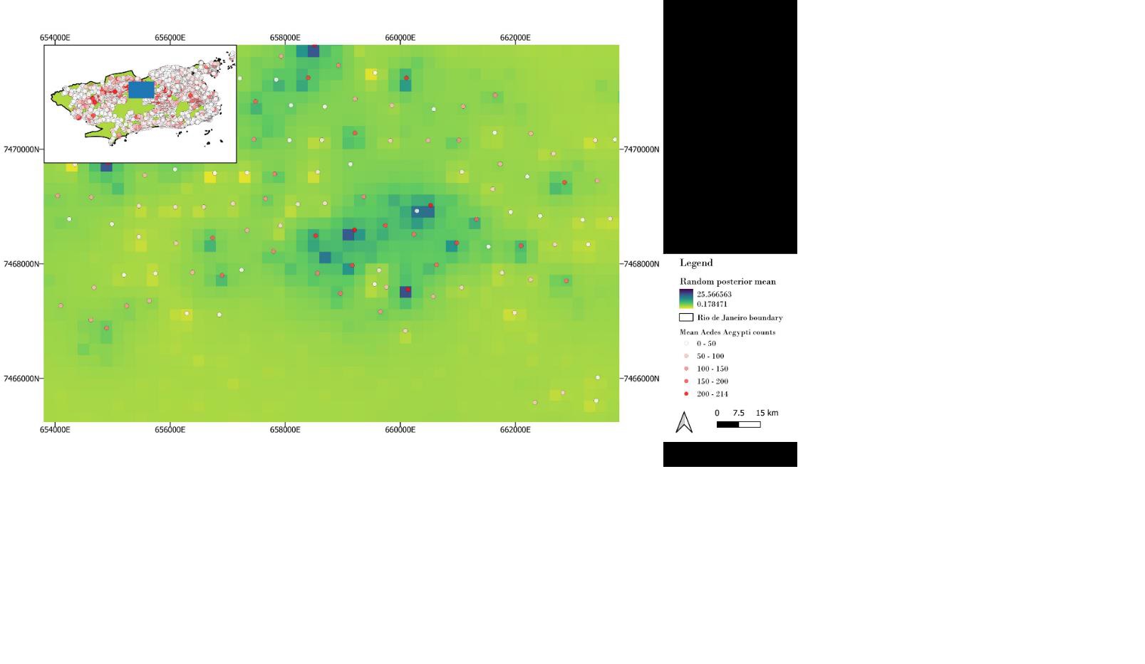
Abstract: This study investigates the dynamics of Aedes aegypti (AA), the primary vector of dengue, urban yellow fever, Chikungunya, and Zika virus in tropical regions, such as Rio de Janeiro in Brazil. The diseases/viruses have no specific cures available, and hence understanding the nature of these disease vector becomes crucial for designing effective control measures. The research aims to assess the suitability of urban environments for AA vectors by evaluating spatio-temporal maps at flight range levels and exploring various spatial scales for mapping their distribution. The study seeks to address key questions: to determine whether spatio-temporal modelling of ovitrap data can reliably predict seasonal Larval Index Rapid Assay (LIRA) surveillance data, and secondly, to determine how models at different flight range levels (50m, 100m, 200m, 400m) compare to those at lower resolutions (1000m). Utilizing Integrated Nested Laplace Approximation (INLA) to integrate spatial and temporal random effects, this research endeavours to provide a robust foundation for predicting urban environment suitability for AA mosquitoes. Results of the study showed the challenges related to mesh sizes for various buffers, impacting the precision of spatial effects, particularly in smaller buffer sizes. Results also highlights the significance of variable selection and data quality, especially regarding ovitrap distribution and finer-scale climate data. The model was unable to detect LIRA indices, and this may be due to the complexities inherent to the Aedes mosquito vector distribution dynamics, emphasizing the necessity for refined modelling techniques and more detailed data collection strategies. The study contributes nuanced insights into Aedes mosquito dynamics, advocating for continual refinement of methodologies to address spatial and temporal complexities in vector-borne disease surveillance and control, ensuring the evolution of models to effectively contribute to combating these public health challenges.
1st Supervisor: Jakob Schwalb-Willmann 2nd Supervisors (external): Prof. Dr. Sven Lautenbach, Stefen Knoblauch, University of Heidelberg


