Monthly Remote Sensing Indicators for West Africa predicted to support climate models

Monthly Remote Sensing Indicators for West Africa predicted to support climate models

October 1, 2024

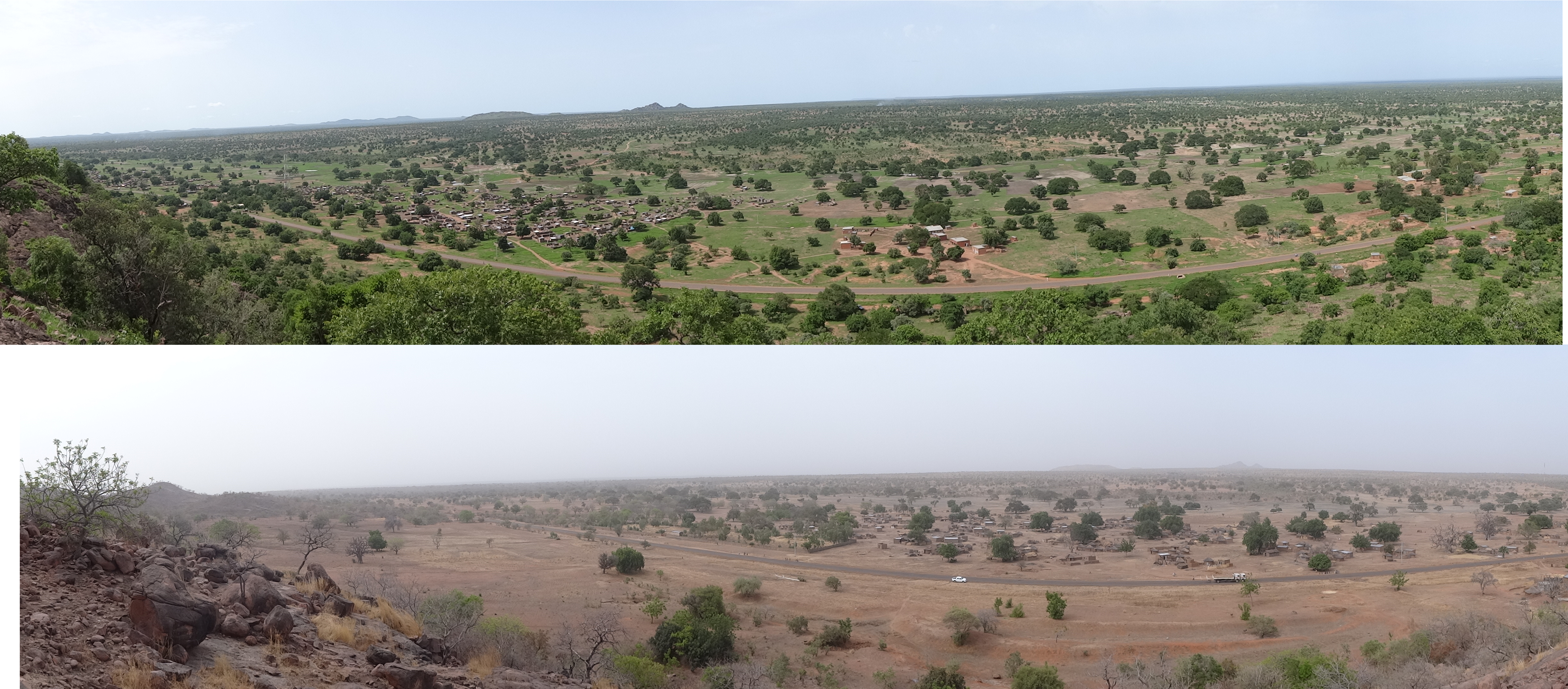
Various monthly remote sensing dataset have been published in the context of the LANDSURF project in a spatial resolution of 1 x 1 km which are all based on MODIS and AVHRR datasets covering a period of 40 years which include the following:

Besides the vegetation indices NDVI and LAI we also published a monthly 1x 1 km land cover classification identifying 16 different land cover classes.

In addition, two binary parameters, i.e. forest cover and vegetation cover were contributed to the LANDSURF project. On top we provided a land surface albedo dataset.

For predicting the restrospective indices the STARFM algorithm was utilized in a Python environment.

In addition, the dataset (https://dx.doi.org/10.58160/gGzexcbDikobkyvK) contains climatological and agrometeorological indices of West Africa for 1981-2100 which are based on global and regional climate models (CMIP5 and CORDEX-CORE) calculated by our colleagues from Climatology, Dr. Katrin Ziegler, Dr. Daniel Abel and Prof. Dr. Heiko Paeth . Future greenhouse gas emissions scenarios (low (RCP2.6) and a high (RCP8.5)) were used.



you may also like:

welcome of the new EAGLE Earth Observation students

welcome of the new EAGLE Earth Observation students

Today our new EAGLE students were welcomed and introduced to our remote sensing work. Tobias Ullmann presented various remote sensing projects at our EORC from Africa to the Arctic and also outlined our structure. Martin Wegmann introduced the general concept of EAGLE...

EORC at the Annual Meeting of the German Society for Geomorphology

EORC at the Annual Meeting of the German Society for Geomorphology

From Wednesday to Friday, EORC scientists Baturalp Arisoy and Florian Betz participated in the annual meeting of the German Society for Geomorphology which took place at the University of Leipzig. EORC showed two posters on "High performance Desert Analytics:...

Science slam with Earth Observation

Science slam with Earth Observation

On November 8th the University Wuerzburg Science Slam will take place on the Campus Hubland again - this time with the head of our Department of Global Urbanization and Remote Sensing, Prof. Hannes Taubenboeck. He will present our urban research using remote sensing...

new team member Lilly Schell

new team member Lilly Schell

Lilly Schell joined the Earth Observation Research Cluster in October 2024 as a research assistant for the “Network for Capacity Development in Climate Change Adaptations in Africa” project. Her doctoral research will focus on the use of remote sensing techniques in...