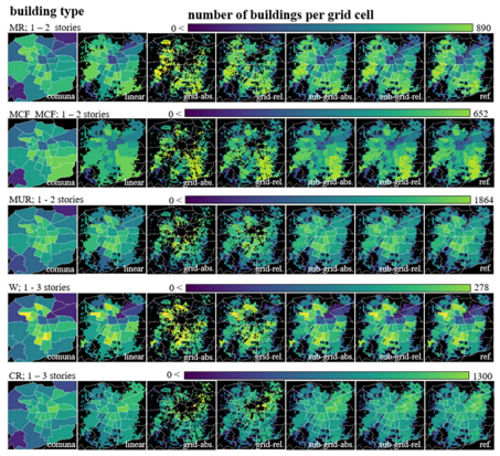
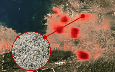
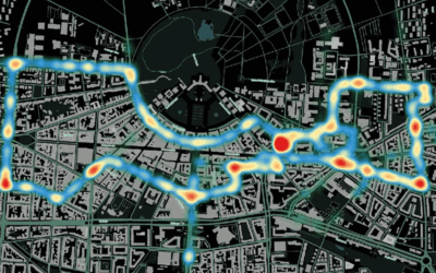
New paper published by Christian Geiß, Hannes Taubenböck and colleagues on “Benefts of global earth observation missions for disaggregation of exposure data and earthquake loss modeling: evidence from Santiago de Chile” in the journal Natural Hazards.
Abstract
Exposure is an essential component of risk models and describes elements that are endangered by a hazard and susceptible to damage. The associated vulnerability characterizes the likelihood of experiencing damage (which can translate into losses) at a certain level of hazard intensity. Frequently, the compilation of exposure information is the costliest component (in terms of time and labor) of risk assessment procedures. Existing models often describe exposure in an aggregated manner, e.g., by relying on statistical/census data for given administrative entities. Nowadays, earth observation techniques allow the collection of spatially continuous information for large geographic areas while enabling a high geometric and temporal resolution. Consequently, we exploit measurements from the earth observation missions TanDEM-X and Sentinel-2, which collect data on a global scale, to characterize the built environment in terms of constituting morphologic properties, namely built-up density and height. Subsequently, we use this information to constrain existing exposure data in a spatial disaggregation approach. Thereby, we establish dasymetric methods for disaggregation. The results are presented for the city of Santiago de Chile, which is prone to natural hazards such as earthquakes. We present loss estimations due to seismic ground shaking and corresponding sensitivity as a function of the resolution properties of the exposure data used in the model. The experimental results underline the benefits of deploying modern earth observation technologies for refined exposure mapping and related earthquake loss estimation with enhanced accuracy properties.
read the full article here:

