Patrick studied a Bachelor in Geography at the University of Heidelberg with a thesis on land cover change and landslide events in Southern Tyrol (internship at Eurac Research, Bolzano, Italy). To deepen his remote sensing experience, Patrick studied a Master degree in Environmental Sciences with a focus on environmental modelling using remote sensing and ecological data at the University of Freiburg. An internship at the German Aerospace Center (DLR) was followed by a master thesis on vegetation structure modelling for the Paraguayan Chaco in the context of the DLR project Geo-ForPy. In September 2022, Patrick joined the Department of Remote Sensing as a PhD student in the BETA-FOR project which focuses on the assessment of biodiversity in German forests based on complementary remote sensing data.
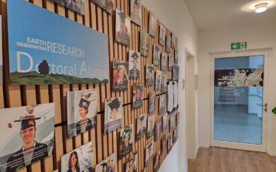
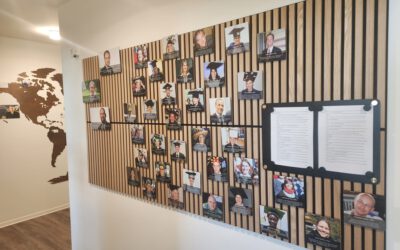
🎓 Freshly Updated… and Already Outdated? Welcome to Our Wall-of-Fame!
We’ve just updated our PhD and Habilitation Wall-of-Fame—a small but meaningful way of recognising the academic journeys completed within our EORC. The latest names have been carefully added, marking the culmination of years of dedicated research and quiet...