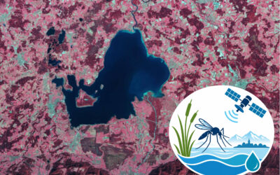
Mapping mountain pine remains a challenge, particularly in steep Alpine terrain where Pinus mugo forms dense krummholz thickets that are difficult to separate from surrounding vegetation and hard to survey on the ground. In our new study led by Basil Tufail, we explore the potential of Sentinel-2 time series to map mountain pine across the German Alps and to track how its distribution has shifted over recent years, including changes at the upper elevational edge of its range to detect upslope movement of the treeline.
Using the German Alps as a study area, we combined dense Sentinel-2 time series from 2017 to 2025 and machine learning models to produce annual mountain pine distribution maps. We assessed the maps with spatial block cross-validation, yielding F1 scores of roughly 88–90%. The annual maps reveal trends over the study period: a modest but consistent decline in mapped area (−0.56 km²/yr) and a detectable upward shift in the upper elevation boundary (+1.39 m/yr). Beyond mapping, an exploratory two-way fixed-effects model links annual NDVI to DWD climate data and finds that warmer growing seasons and milder winters influence mountain pine positively, suggesting that continued warming could favour further upslope movement and greening.
To assess how reliably the Sentinel-2 maps detect mountain pine at fine scale, we carried out an independent UAS mapping campaign over the Zugspitze, made possible through our collaboration with the Environmental Research Station Schneefernerhaus (UFS). From the drone imagery, we derived high-resolution reference maps of mountain pine cover, which we then used to estimate the probability that Sentinel-2 correctly detects pine across the terrain.
The study, titled “Mountain pine time series mapping with Sentinel-2 and assessing their ecological role in Alpine vegetation dynamics,” was carried out at the Department of Remote Sensing, Institute of Geography and Geology, Julius-Maximilians-Universität Würzburg, and was recently published in Remote Sensing Applications: Society and Environment. The authors are Basil Tufail, Moritz Rösch, Elio Rauth, Julian Fäth, Tobias Ullmann.
Code and annual maps are openly available via GitHub and Zenodo.
Read the full text here: https://doi.org/10.1016/j.rsase.2026.102238