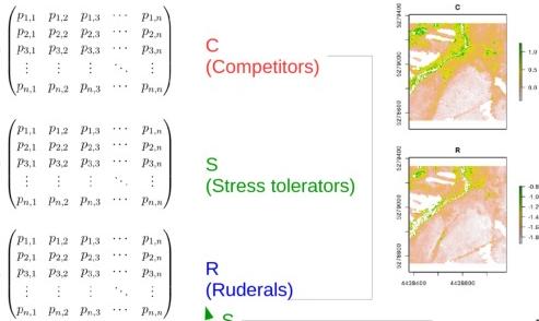

 A new publication lead by Duccio Rocchini has been published in Ecological Indicators titled “Remotely sensed spatial heterogeneity as an exploratory tool for taxonomic and functional diversity study“. This publication stressed the challenges to assess biodiversity from in-situ data and encourages to explore novel approaches to compute diversity measures. Remote Sensing can achieve that while covering large areas over a short period of time and thus allows to map diversity hotspots from space-borne systems. read more here:

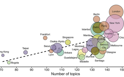
New publication on Global regularities and regional patterns in social media discourse
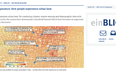
Cities are complex entities that are defined and distinguished by their physical, social, economic, environmental and other structural characteristics. Our remote approach to the city is primarily from a physical-structural perspective. Through Geolingual Studies, we...