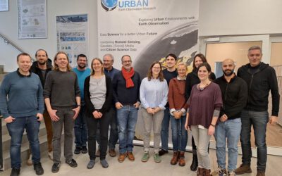
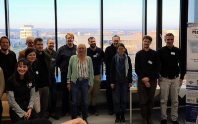
We are pleased to announce that the SuperVision Space project has started. Together with our project partners from the SuperVision Earth-Team and the TU Darmstadt, we are looking forward to further develop applications of Remote Sensing for pipeline monitoring. During this project, our focus lies on the applicability of high-resolution satellite imagery and to improve the detection of potential threats for pipelines.
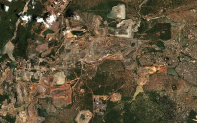
New Funded Project on Automated Detection of Mining Areas
In a newly launched research project funded by the KSB Foundation, we focus on the automated identification of mining areas based on remote sensing data. The aim is to systematically detect large-scale mining activities and to track their spatial and temporal...

