OPTIPLAN – Driving Innovation in Traffic and Urban Planning

OPTIPLAN – Driving Innovation in Traffic and Urban Planning

October 25, 2024

Driving Innovation in Traffic and Urban Planning: Insights from OPTIPLAN

On October 24, 2024, the OPTIPLAN research consortium (German Aerospace Center (DLR)/University of Würzburg, Ingenieurbüro Behringer & Partner, and OBERMEYER GmbH) gathered to advance collaborative innovations in remote sensing for urban traffic and development. Discussions highlighted new approaches that extend beyond traditional methodologies to address emerging urban needs.

Pioneering AI-Enhanced Traffic Monitoring
A major focus was using AI to analyze street-level camera feeds for precise traffic monitoring. By adapting high-resolution remote sensing tools for privacy-compliant, low-resolution street images, it is the aim to distinguish not only broad categories—such as cars, pedestrians, and cyclists—but also specific classes, like heavy vehicles and cargo bikes. This capability promises a more refined understanding of urban traffic dynamics and improved planning accuracy.

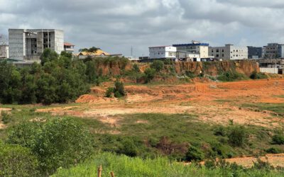
Spatial Balance for Sustainable Urban Development
In view of northern Munich’s growth, we evaluated planning scenarios that balance essential green and blue spaces with built-up areas. Using spatial statistics, the projections consider both environmental benefits and the mitigation of urban heat. This balance is crucial as Munich anticipates population increase, underscoring the need for development that promotes livability and sustainability.

Beyond this, a tour of DLR’s facilities offered valuable insights into orthophoto data collection, showcasing our end-to-end approaches—from large-scale satellite and aerial imagery to on-ground traffic analysis and strategic urban planning.


follow us and share it on:

you may also like:

EORC researchers teaching drone remote sensing at UNIS, Svalbard

EORC researchers teaching drone remote sensing at UNIS, Svalbard

During their current visit to Svalbard, EORC researchers have been teaching UNIS students from all over Europe on how drones can be used for remote sensing in the high Arctic. Invited by our UNIS collaborators Prof. Dr. Simone Lang (UNIS) and Prof. Dr. Eero Rinne...

New Funded Project on Automated Detection of Mining Areas

New Funded Project on Automated Detection of Mining Areas

In a newly launched research project funded by the KSB Foundation, we focus on the automated identification of mining areas based on remote sensing data. The aim is to systematically detect large-scale mining activities and to track their spatial and temporal...

New Earth Observation Project on Thermal Satellite Data

New Earth Observation Project on Thermal Satellite Data

We are honored that we are part of a new research and development project, focusing on the development of a satellite constellation capable of delivering high-resolution thermal data with a high revisit rate. The observations aim to make an important contribution to...

Super-Test-Site Würzburg meeting

Super-Test-Site Würzburg meeting

The team of our "Super-Test-Site Würzburg" consortium (University of Würzburg, the Karlsruhe Institute of Technology, the Friedrich-Alexander-University Erlangen-Nürnberg, Leibniz-Institute for Länderkunde in Leipzig  and the German Aerospace Center)...

Share This