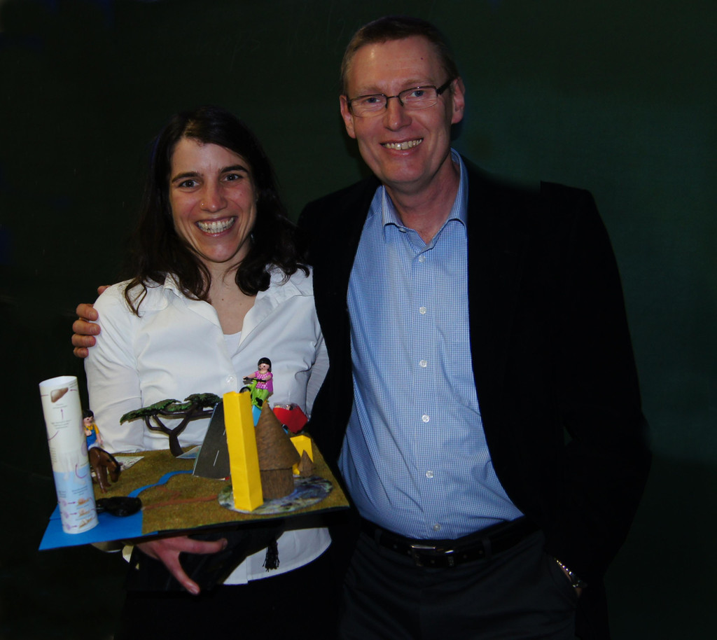
Yvonne Walz with her supervisor Prof. Stefan Dech
On January 14 2015 Yvonne Walz defended her PhD on remote sensing analysis for Schistosomiasis in West Africa successfully – congratulations!
She is currently working at the United Nation University in Bonn in a related topic of disease mapping and remote sensing.
the abstract of her PhD:
Global environmental change leads to the emergence of new human health risks. As a consequence, transmission opportunities of environment-related diseases are transformed and human infection with new emerging pathogens increase. The main motivation for this study is the considerable demand for disease surveillance and monitoring in relation to dynamic environmental drivers. Remote sensing (RS) data belong to the key data sources for environmental modelling due to their capabilities to deliver spatially continuous information repeatedly for large areas with an ecologically adequate spatial resolution. A major research gap as identified by this study is the disregard of the spatial mismatch inherent in current modelling approaches of profiling disease risk using remote sensing data. Typically, epidemiological data are aggregated at school or village level. However, these point data do neither represent the spatial distribution of habitats, where disease-related species find their suitable environmental conditions, nor the place, where infection has occurred. As a consequence, the prevalence data and remotely sensed environmental variables, which aim to characterise the habitat of disease-related species, are spatially disjunct. The main objective of this study is to improve RS-based disease risk models by incorporating the ecological and spatial context of disease transmission. Exemplified by the analysis of the human schistosomiasis disease in West Africa, this objective includes the quantification of the impact of scales and ecological regions on model performance. In this study, the conditions that modify the transmission of schistosomiasis are reviewed in detail. A conceptual underpinning of the linkages between geographical RS measures, disease transmission ecology, and epidemiological survey data is developed. During a field-based analysis, environmental suitability for schistosomiasis transmission was assessed on the ground, which is then quantified by a habitat suitability index (HSI) and applied to RS data. This conceptual model of environmental suitability is refined by the development of a hierarchical model approach that statistically links school-based disease prevalence with the ecologically relevant measurements of RS data. The statistical models of schistosomiasis risk are derived from two different algorithms; the Random Forest and the partial least squares regression (PLSR). Scale impact is analysed based on different spatial resolutions of RS data. Furthermore, varying buffer extents are analysed around school-based measurements. Three distinctive sites of Burkina Faso and Côte d’Ivoire are specifically modelled to represent a gradient of ecozones from dry savannah to tropical rainforest including flat and mountainous regions. The model results reveal the applicability of RS data to spatially delineate and quantitatively evaluate environmental suitability for the transmission of schistosomiasis. In specific, the multi-temporal derivation of water bodies and the assessment of their riparian vegetation coverage based on high-resolution RapidEye and Landsat data proofed relevant. In contrast, elevation data and water surface temperature are constraint in their ability to characterise habitat conditions for disease-related parasites and freshwater snail species. With increasing buffer extent observed around the school location, the performance of statistical models increases, improving the prediction of transmission risk. The most important RS variables identified to model schistosomiasis risk are the measure of distance to water bodies, topographic variables, and land surface temperature (LST). However, each ecological region requires a different set of RS variables to optimise the modelling of schistosomiasis risk. A key result of the hierarchical model approach is its superior performance to explain the spatial risk of schistosomiasis. Overall, this study stresses the key importance of considering the ecological and spatial context for disease risk profiling and demonstrates the potential of RS data. The methodological approach of this study contributes substantially to provide more accurate and relevant geoinformation, which supports an efficient planning and decision-making within the public health sector.
1. supervisor: Prof. Dech, 2. supervisor. Prof. Utzinger, mentored by Dr. M. Wegmann