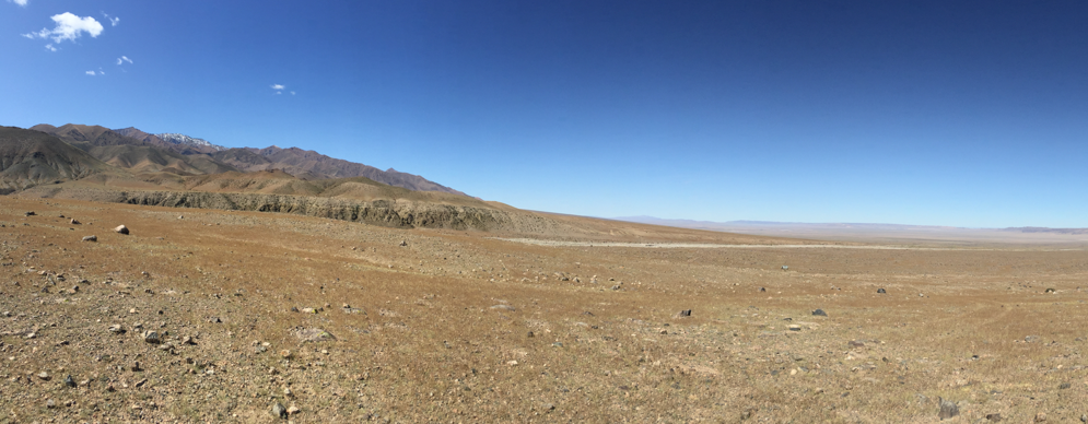
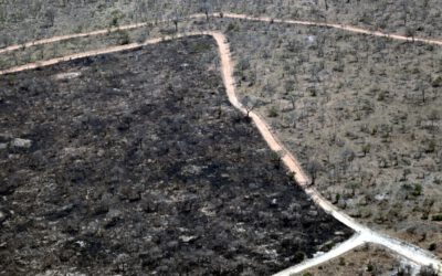
Drylands are considered one of the most important and sensitive environments on our planet, and recent studies suggest that drylands are expanding, particularly in Asia. Although these regions are characterized by strong climatic contrasts and are particularly responsive to climatic changes, their sensitivity and response time are still largely unknown. In this context, recent developments in earth observation – such as free access to comprehensive image archives, analysis of large datasets through cloud-based processing and machine learning, and integration and fusion of the latest generation of Synthetic Aperture Radar (SAR) and multispectral sensors – will foster a better understanding of the evolution and dynamics of drylands under changing climatic conditions.
This project will explore the linkage of high-resolution multi-sensor remote sensing data (i.e., SAR and multispectral imagery) collected by earth observation satellites with in-situ data collected by ground surveys (e.g., drones, loggers) to characterize the spatiotemporal dynamics and short- and long-term evolution of drylands in selected study areas (e.g., Mongolia, Chile, Namibia, and/or South Africa). In particular, the project focuses on (i) developing approaches to fuse information from multi-sensor remote sensing time series to analyze land surface dynamics in drylands, and (ii) identifying triggers and driving forces with respect to climate change.
Candidates are expected to pursue a PhD degree within this project.
We are seeking a highly motivated candidate holding a M.Sc. degree with expertise in remote sensing and handling of various sources of geodata. A sound knowledge in remote sensing software, geographic information systems (GIS) and programming (e.g., Python, R) is required. The ability to work independently as well as within an interdisciplinary team of collaborators is essential. A strong interest in applying interdisciplinary approaches, conducting field work, and to bridge gaps between Earth Observation and in-situ data collection is required. Further, proficiency in the English language, and the capability to write research reports and peer-reviewed publications are required.
Working environment: We offer a stimulating research environment within an interdisciplinary, dynamic research team at the Earth Observation Research Hub and the Institute of Geography and Geology at the University of Würzburg in close collaboration with the German Remote Sensing Data Center of DLR. The position is financed for a duration of 3 years and should start in early 2023, with salary according to TV-L (65%).
Applicants are invited to submit their applications via email including a cover letter, CV and all necessary certificates to eo-contact@uni-wuerzburg.de before March 1st 2023. Please indicate the identification number (2023arid) in your application.
The position is to be filled as soon as possible and offered for a fixed term of 3 years.
The University of Würzburg is an equal opportunity employer, determined to increase the proportion of women in successful scientific careers, and particularly encourages them to apply. Preference will be given to disabled applicants with the same qualifications. Inquiries or questions should be directed to:
Contact: Earth Observation Research Hub, Prof. Dr. Tobias Ullmann,
eo-contact@uni-wuerzburg.de
www.earth-observation.org

