Patrick Aravena Pelizari is a doctoral researcher with the Earth Observation Center (EOC) of the German Aerospace Center (DLR) and the Earth Observation Research Hub of the Institute of Geography and Geology at the University of Würzburg. He is under the supervision of Prof. Dr. Hannes Taubenböck (Chair of Global Urbanization and Remote Sensing at the University of Würzburg). His mentor at DLR is Prof. Dr. Christian Geiß (DLR, University of Bonn). Patrick received his MSc degree in physical geography/environmental systems from Ludwig-Maximilians University, Munich.
As a Research Scientist at DLR, he has been contributing to multiple projects in the fields of humanitarian relief and natural disaster management developing tailored machine learning techniques to extract related geoinformation from earth observation data ( https://doi.org/10.1016/j.rse.2018.02.025 ). Currently, he is working on the research project RIESGOS 2.0 (Scenario-based multi-risk assessment in the Andes region; https://www.riesgos.de/en/ ) on the topic of multi-hazard exposure modeling.
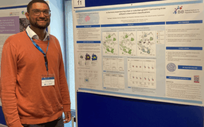
Within his PhD research, Patrick investigates the vulnerability-related characterization of built environments exposed to natural hazards with multimodal geoimage data and artificial intelligence. In a first study, he evaluated the suitability of geotagged street-level imagery to comprehensively characterize buildings with respect to their seismic vulnerability. To this end, he elaborated a framework for the acquisition, structuring, and classification of street-level façade imagery ( https://doi.org/10.1016/j.isprsjprs.2021.07.004 ). Thereon, he developed a deep multi-task learning method to beneficially classify buildings according to multiple criteria as it is relevant in multi-hazard risk assessments. In a third study, he explores the integrated use of street-level imagery and earth observation data to obtain spatially continuous exposure models.