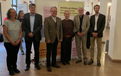
This week the managing director of our Earth Observation Research hub was invited to give a talk at the Aerospace day of the Informatics faculty of the University of Würzburg. Dr. Martin Wegmann introduced students as well as colleagues from various informatic departments to the application of remote sensing for environmental sciences and how information technologies of various kinds can be used in environmental earth observation approaches. The talks by the colleagues also showed great potential for numerous collaborations among our disciplines and especially the topics big data processing, time series analysis as well as UAS/UAV operations and lidar point cloud processing will be followed up in the upcoming weeks and months to establish fruitful collaborations and new research projects. Individual discussions after the talks resulted in various follow-up meetings and we are very much looking forward to collaborate more with our colleagues from the informatics.
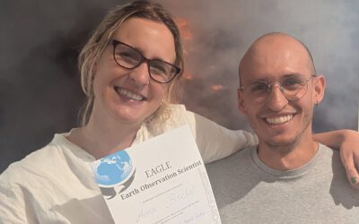
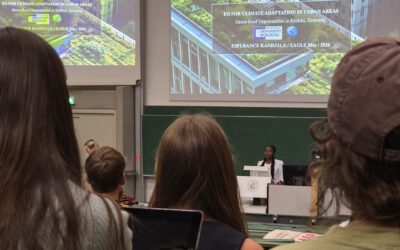
Successful MSc Defense by Anna Bischof
We congratulate Anna Bischof on the successful defense of her MSc thesis, "Feasibility of Unoccupied Aerial System-Based Active Fire Monitoring in African Savannas." Anna's research addressed one of the key challenges in fire ecology and remote sensing: understanding...