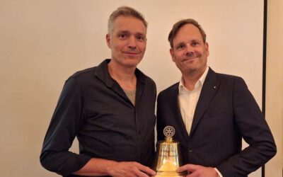
Dr. Marta Sapena and Dr. John Friesen represented the Earth Observation Center (EOC) of the German Aerospace Center (DLR) and our Earth Observation Research Cluster (EORC) this week at the EARSeL conference in Manchester (https://manchester2024.earsel.org/).
They presented four different studies on a mapping tool for urban expansion, on spatio-temporal changes of slums, on differences between formal and informal settlements, and on differentiating the urban-rural dichotomy. With it they covered a wide area of topics of our labs. Here are the titles and short abstracts of the talks.
Introduction to DIY-BU-Mapping Tool: Mapping Urban Expansion in Africa on the Cloud
Marta Sapena, Johannes Mast, Christian Geiß, Hannes Taubenböck
Africa is experiencing unprecedented urban growth resulting from natural population growth and rural-to-urban migration. To effectively monitor these dynamics, the availability of accurate, up-to-date, and analysis-ready data is essential. However, existing mapping products for Africa generally consist of global medium- and high-resolution maps that are not specifically tailored for the continent. We introduced a developed ‘Do-It-Yourself-Built-Up-mapping-tool’ (DIY-BU-mapping tool) accessible through the Google Earth Engine, i.e. the tool is a user-centred solution for urban expansion mapping in Africa leveraging Sentinel satellites. The DIY-BU-mapping tool is a free, open, and cloud-based tool designed for users with various technical backgrounds. The results were validated in nearly 100 test sites. A mean overall accuracy of 0.97 was measured for the year 2021.
Differences Between Formal and Informal Settlements in Accessibility to Healthcare in Sub–Saharan Cities
John Friesen, Stefanos Georganos, Jan Haas
Ensuring access to high-quality essential health care services constitutes a key objective outlined in the United Nations Sustainable Development Goals. Four open data sets with information on healthcare locations, road networks, population distribution and land use in 18 cities in sub–Saharan Africa have been combined. With it the differences in accessibility between different cities as well as differences in accessibility between populations living in formal and informal areas of the cities have been analyzed. In the majority of the surveyed cities, it is observed that over 50% of the estimated population resides in informal areas. In three specific cities—Luanda in Angola, Johannesburg in South Africa, and Beira in Mozambique— it has been found that less than 80% of the population have access to hospitals within a 120-minute travel time.
Spatio-Temporal Changes of Morphological Slums Around the World
John Friesen, Nicolas Johannes Kraff, Hannes Taubenböck
Globally, slums are proliferating, particularly in the Global South. Despite increasing interdisciplinary research on these areas, accurately measuring the temporal dynamics of slum settlements and populations remains an ongoing challenge. The presented study investigated slum dynamics in multiple cities, including Caracas, Medellin, Lisbon, Nairobi, and Mumbai. Contrary to the expectation of widespread changes in the total areas of slums, the findings underscore that the primary transformations unfold within the urban fabric. Notably, the temporal dynamics of slums are not predominantly linked to the commonly cited phenomenon of urban sprawl. Instead, the analysis highlights substantial internal dynamics within the cities themselves. Dynamic shifts in slum growth and shrinkage occurring in distinct parts of the urban environment are observed.
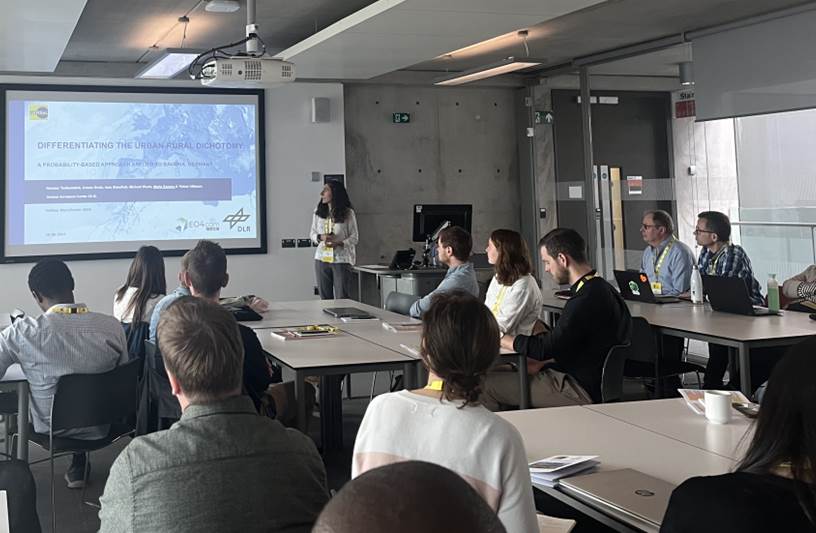
Differentiating the Urban-Rural Dichotomy: A Probability-Based Approach Applied to Bavaria, Germany
Hannes Taubenböck, Ariane Droin, Ines Standfuß, Michael Wurm, Marta Sapena, Tobias Ullmann
There is no generally accepted consensus as to how ‘urban’ and ‘rural’ should be defined conceptually, in terms of data and also methodologically. Rather, there are different approaches for defining the urban-rural dichotomy. In this study, we draw on the basic concept that the city is a place of high densities. We use land cover classifications from remote sensing data, geodata from official sources on building data, and census data. A combination of all these different definitions and for a probability-based approach has been introduced. The approach for specifying the degree of urbanization has been applied on the federal state of Bavaria in Germany. It was found that 1.1% of Bavaria’s land area has a very high probability to be urban land cover. It is remarkable that on this comparatively small area, almost 35.4% (~4.5 million) of the population resides. 34.3% of the area, in turn, are clearly rural. However, only 6.9% (~900.000 people) live there.
