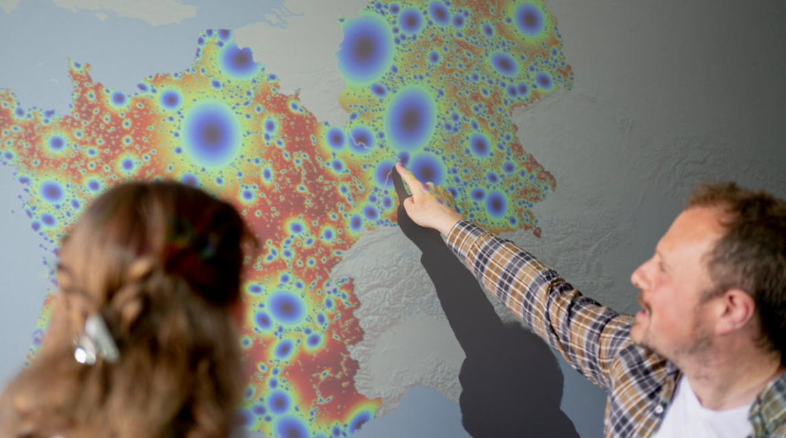
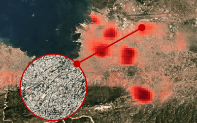
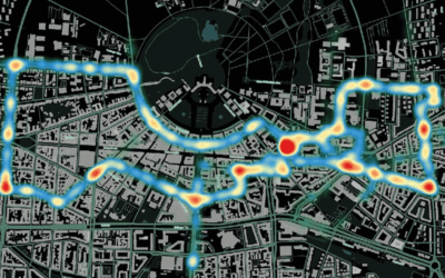
A method has been developed to analyze and visualize settlement areas across borders. The study published last October (we have reported on it: https://remote-sensing.org/new-publication-on-urban-patterns-from-space-comparing-france-and-germany/ ) shows that since the Schengen Agreement, the Franco-German border is hardly perceived as a dividing element and that the political integration of Europe is also reflected in spatial development. The study has been carried out by researchers from the München University of Applied Sciences, the Earth Observation Center (EOC) of the German Aerospace Center (DLR) in Oberpfaffenhofen and our Earth Observation Research Cluster of the University of Würzburg.
Professor Andreas Schmitt, the leading author of the study, took the 60th anniversary of the Élysée Treaty as an opportunity to present this study now in a press release: https://hm.edu/aktuelles/news/news_detailseite_441216.de.html
(Foto: Alexander Ratzing)
This study is also related to other studies on settlement patterns in cross-border regions:
- Border regions across the globe: Analyzing border typologies, economic and political disparities, and development dynamics: https://www.sciencedirect.com/science/article/pii/S0143622822002375
- Regions Set in Stone—Delimiting and Categorizing Regions in Europe by Settlement Patterns Derived from EO-Data: https://www.mdpi.com/2220-9964/6/2/55
Professor Andreas Schmitt will visit us here at the EORC on 13 May 2025 and he will give a guest lecture: https://remote-sensing.org/eorc-talk-wald5dplus-an-open-benchmark-dataset-for-the-combined-spatial-spectral-polarimetric-and-temporal-characterization-of-forest-stands-using-sentinel-1-2/

