Prof Gustau Camps-Valls visits DLR-EOC

Prof Gustau Camps-Valls visits DLR-EOC

March 24, 2025

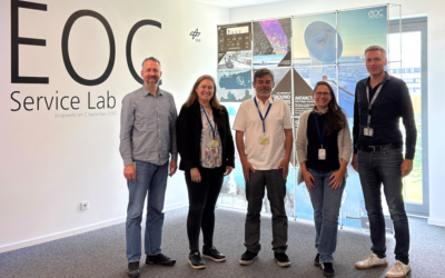
Today we had the great pleasure to welcome Prof Gustau Camps-Valls at DLR’s Earth Observation Center (EOC).


Prof Gustau Camps-Valls is a Full Professor in Electrical Engineering and leads the Image and Signal Processing (ISP) group at Universitat de València ( https://www.uv.es/gcamps/ ) . He is an expert in AI and causal inference for geosciences and remote sensing data analysis, having published extensively.

He visited the ‘Georisks and Civil Security’ department of DLR’s EOC and discussed current and possible future collaborations with our Professor Hannes Taubenböck.


follow us and share it on:

you may also like:

EOCap4Africa Training in Kinshasa

EOCap4Africa Training in Kinshasa

This week, 14 students are attending a test run of our Remote Sensing module on Remote Sensing for Biodiversity Conservation at the University of Kinshasa. This module is part of the EOCap4Africa project (funded by the Federal Agency for Nature Conservation, lead Dr....

KI4Stereo – Hybrid kick-off meeting at DLR

KI4Stereo – Hybrid kick-off meeting at DLR

KI4Stereo – Hybrid kick-off meeting at DLR: AI-based analysis of stereo image data for tree monitoringOn January 23rd, 2026, a hybrid kick-off meeting was held at DLR to officially launch the research project KI4Stereo (funded under the KMU-innovativ programme,...

EORC researchers teaching drone remote sensing at UNIS, Svalbard

EORC researchers teaching drone remote sensing at UNIS, Svalbard

During their current visit to Svalbard, EORC researchers have been teaching UNIS students from all over Europe on how drones can be used for remote sensing in the high Arctic. Invited by our UNIS collaborators Prof. Dr. Simone Lang (UNIS) and Prof. Dr. Eero Rinne...

New Funded Project on Automated Detection of Mining Areas

New Funded Project on Automated Detection of Mining Areas

In a newly launched research project funded by the KSB Foundation, we focus on the automated identification of mining areas based on remote sensing data. The aim is to systematically detect large-scale mining activities and to track their spatial and temporal...

Share This