

![]() From June 29th to July 2rd, experts from the Department of Remote Sensing, Würzburg University, met their colleagues of the LaVaCCA project from KRASS, SIC-ICWC, and Al´Farabi University at the office of KRASS in Urgench, Uzbekistan. During this meeting, the second R-course was done in the scope of the capacity building of the LaVaCCA Project. This course aimed at fostering the methodological skills of the participants in using R for geospatial data analysis, with a focus on agricultural monitoring. Participants have already gained first analytical skills in using R during the first training in Almaty, Kazakhstan in February 2015.
From June 29th to July 2rd, experts from the Department of Remote Sensing, Würzburg University, met their colleagues of the LaVaCCA project from KRASS, SIC-ICWC, and Al´Farabi University at the office of KRASS in Urgench, Uzbekistan. During this meeting, the second R-course was done in the scope of the capacity building of the LaVaCCA Project. This course aimed at fostering the methodological skills of the participants in using R for geospatial data analysis, with a focus on agricultural monitoring. Participants have already gained first analytical skills in using R during the first training in Almaty, Kazakhstan in February 2015.
A new concept for this course was applied, in which the participants selected and suggested the course agenda, according to their specific project requirements. The course was then set up accordingly and held by Dr. Fabian Löw and Christian Bauer from Würzburg University.
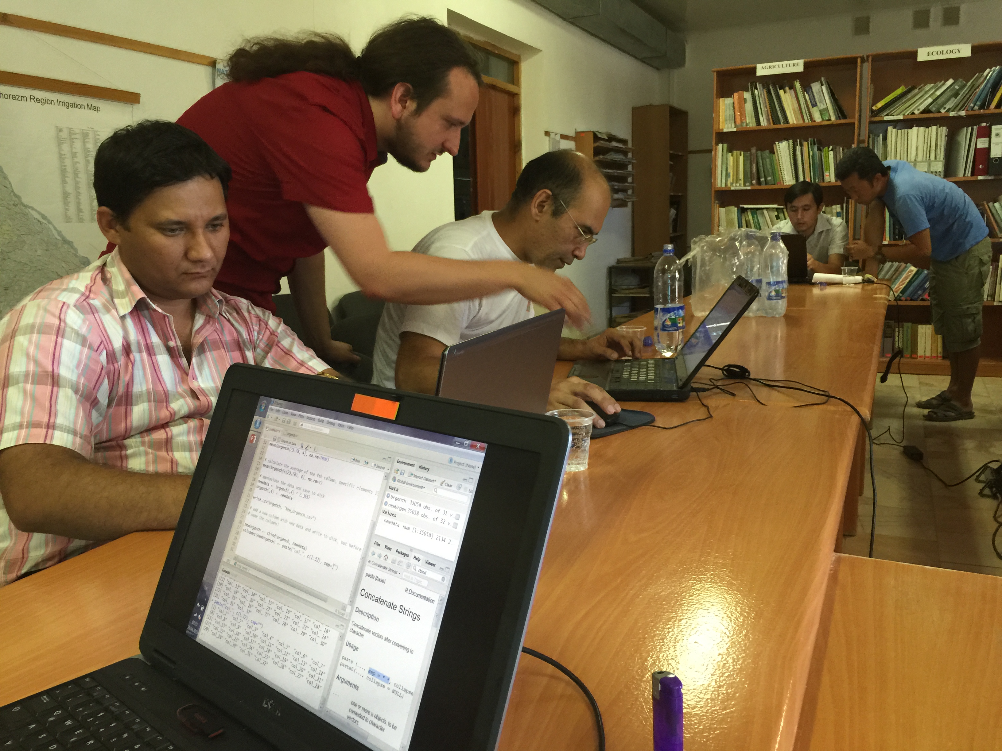
Participants of the second R-course in KRASS office, Urgench City, Uzbekistan (Foto: Dr. Fabian Löw)
Three major topics were focused on:
- Working with raster data: satellite image pre-processing in R (atmospherically calibration, stacking, sub-setting of large data sets, calculation of vegetation indices for assessing vegetation dynamics and within-field assessments of vegetation growth)
- Supervised image classification for crop type mapping, based on multi-temporal Landsat images and Random Forest algorithm (crop type distribution and acreage), accuracy assessments (confusion matrices)
- Regression analysis in R
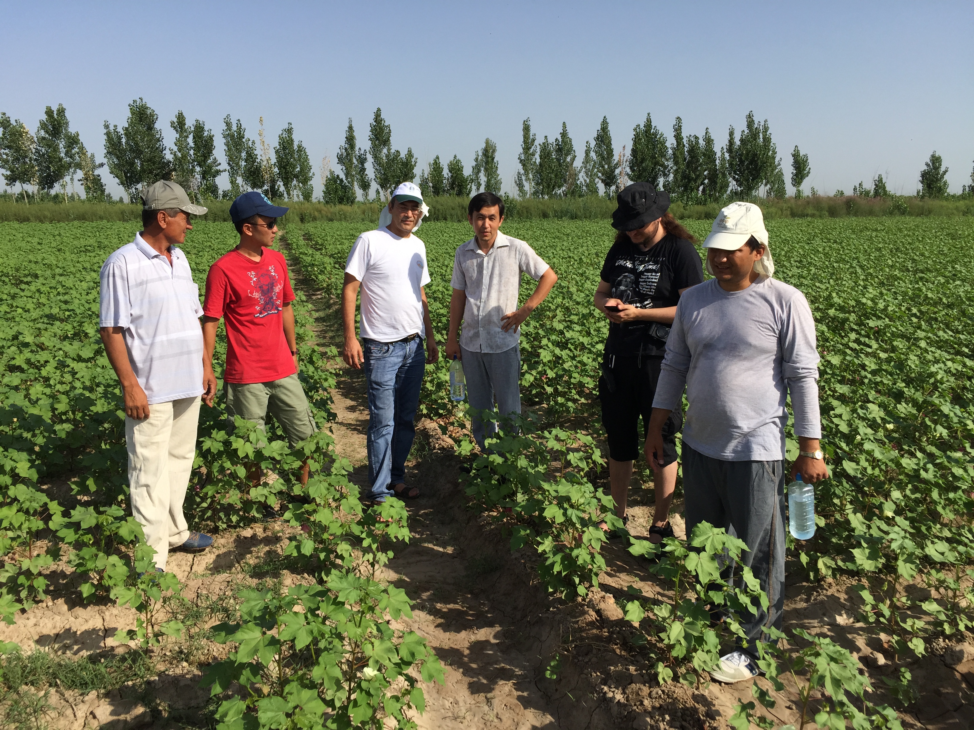
Participants vising selected sampling sites near Urgench City, Uzbekistan (Foto: Dr. Fabian Löw)
After three intensive days of training, the participants togehther explored the subject of the LaVaCCA program “on-ground”: a field survey was organized and performed around Urgench city, where staffers from SIC-ICWC and KRASS maintain several test sites on cotton, wheat, and rice fields, which are the major crops in this region. On these selected fields, SIC-ICWC staffers assess biophysical parameters (fPAR, biomass), which will later be incorporated into yield models. The R course enables them to analyze important agricultural parameter (crop yield, crop acreage) with one of the most advanced programming languages, R. Staffers from KRASS also maintain soil salinity sampling test sites in this region, and the course enables them to analyse their field measurements, for example to perform regression analysis or supervised land use classifications, based on satellite images.


