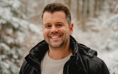
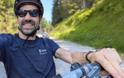
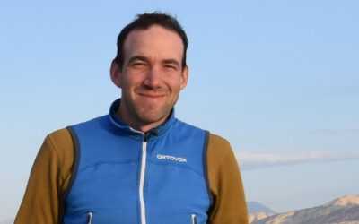
Michael is a postdoctoral researcher at EORC. His research centers on human–land interactions in the context of global environmental change, with a particular geographic focus on Africa. Combining satellite imagery, GIS, and advanced image analysis techniques, he investigates agricultural land-use dynamics, settlement expansion, and ecosystem transformations in rapidly developing regions.
A key strength of Michael’s work lies in integrating multi-sensor Earth observation data—from optical systems such as Landsat and Sentinel-2 to radar missions like Sentinel-1 and TerraSAR-X—to capture complex land-surface processes. His research has contributed to improved methods for land-cover classification, change detection, and the analysis of coupled human–environment systems. He has published his findings in a range of peer-reviewed international journals, addressing topics such as agricultural intensification, urban growth patterns, and the use of SAR texture measures for enhanced land-use mapping.
A major component of his work involves long-term collaboration with the West African Science Service Centre on Climate Change and Adapted Land Use (WASCAL). Within this framework, Michael contributes not only to scientific research but also to capacity development. His projects focus on analyzing agricultural systems, land-cover dynamics, and the impacts of human activities on ecosystems, often using time series of Earth observation data to better understand trends and drivers of change. His contributions have helped advance regional-scale assessments that support climate adaptation strategies and sustainable land management policies.
In addition to research, Michael is deeply engaged in international teaching and training. As part of the WASCAL graduate programs, he regularly teaches courses on advanced remote sensing and geospatial analysis at partner universities in countries such as Ghana, Nigeria, and Mali. These courses combine theoretical foundations with hands-on applications using tools like R and QGIS, enabling early-career scientists to independently apply satellite data in their research. His teaching emphasizes reproducible workflows, open data, and the practical implementation of remote sensing methods in data-scarce environments.
Michael’s expertise spans both urban and agricultural remote sensing. Earlier in his career, he worked extensively on the analysis of settlement structures using high-resolution radar data, including research linked to the TerraSAR-X mission. His doctoral work made important contributions to the use of SAR texture information for characterizing urban morphology and improving classification accuracy in complex built-up environments—an area that remains highly relevant for monitoring urbanization globally.
Beyond academia, Michael is actively involved in outreach and international collaboration. He contributes to public engagement initiatives such as the Africa Festival in Würzburg, where researchers present collaborative projects on environmental research and sustainable development. Through these activities, he helps communicate the societal relevance of Earth observation and strengthens ties between science and the public.
By combining methodological innovation, strong international partnerships, and a commitment to education, Michael’s work demonstrates how remote sensing can provide actionable insights for sustainable land management, climate change adaptation, and environmental monitoring across continents.
In recent years, Michael has increasingly taken on responsibility in university self-governance. For more than two years, he has been the managing director of the Institute of Geography and Geology and a board member of the university’s Africa Competence Centre (ACCUW).