Ines Standfuß is a PhD student at the Earth Observation Research hub, Institute of Geography and Geology at University of Würzburg and the Earth Observation Center (EOC) of the German Aerospace Center (DLR). She is under the supervision of Prof. Dr. Hannes Taubenböck (Chair of Global Urbanization and Remote Sensing). Ines has studied Spatial Planning (Diploma) at the TU Dortmund and Geomatics (Master) at the Ruhr-University Bochum.
Within her PhD, Ines uses remote sensing time series to characterize landscape dynamics that influence behavior/movement of white storks. Within her first study, she focused on the foraging behavior of storks during breeding season and developed an indicator that allows to discriminate periods with good and bad prey accessibility on field level. (https://zslpublications.onlinelibrary.wiley.com/doi/full/10.1002/rse2.251). In a follow up study, she currently assesses how uncertainties emanating from time series data (e.g. irregular temporal sampling) can influence the validity of such ecological indicators. In her third study, she investigates if multi-temporal land surface temperature data can aid in detecting thermal uplift locations, which are crucial for the flight efficiency of storks during autumn and spring migration.
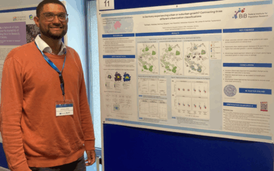
Besides doing her PhD, Ines is affiliated in different research projects at the DLR, broadly focusing on the spatial subdivision of urban landscapes based on their built-up morphology. Within the DFG-project “Where are the jobs?” she and her colleagues from the DLR and the Research Institute for Regional and Urban Development (ILS) published, among other things, a study that demonstrates how globally available and consistent TanDEM-X nDSMs (TDX) provide a valid data base for intra-urban polycentricity research based on built-up volumes (https://authors.elsevier.com/a/1gleQjFQgykTf). In addition, Ines is currently working with colleagues from the DLR, the Federal Institute for Research on Building, Urban Affairs and Spatial Development (BBSR) and the Federal Institute for Population Research (BIB) in the IF-Bund project “FE4KB”. One goal of this project is to develop a data-driven method for the delineation of urban entities based on building volume data.