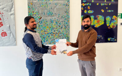
Big congratulations to Sonja Maas, who successfully defended her Master thesis today on the highly relevant and increasingly pressing topic:
LiDAR-Based Acquisition Strategies for Forest Management Planning in a Mature Beech Stand
Supervised by Dr. Julian Fäth and Prof. Dr. Tobias Ullmann, Sonja’s thesis tackles one of the core challenges in modern forestry: how to capture forest structure time efficiently, precisely, and comprehensively using different LiDAR platforms
Her work delivers a sharp comparative look at four LiDAR-based remote sensing platforms used in a mature beech stand in Germany. By analysing different acquisition trajectories and sensor types, she provides a clear picture of what each system can, and cannot, deliver for forest monitoring and management.
Key Highlights of Her Thesis:
• Stationary and mobile terrestrial LiDAR scanning excel at stem-level measurements, enabling robust assessments of stem quality and timber volume.
• These systems, however, face limitations when it comes to scanning the upper canopy, especially under dense leaf cover.
• Airborne and UAV LiDAR sensors shine in characterizing crown structure, offering strong canopy-level metrics.
• Yet they struggle with individual tree and stem detection due to occlusion and lower spatial detail.
• The takeaway is clear: no single LiDAR platform captures all essential forest metrics. True completeness comes only from strategic integration of different systems and well-planned acquisition trajectories.
Her findings underscore a central message for forest monitoring: combining complementary LiDAR platforms is key to generating high-quality, stand- and tree-level information, which is vital for sustainable forest management in a rapidly changing environment.
Sonja, we’re proud of your achievement and the clarity you bring to this complex field. Your work is a strong contribution to the ongoing evolution of LiDAR-based forest assessment and a great example of the scientific rigor driving the EAGLE community. And we’re especially happy that you will continue working with us in EO4CAM HAP Forestry, looking forward to the continued collaboration and glad you’re staying with the Department.