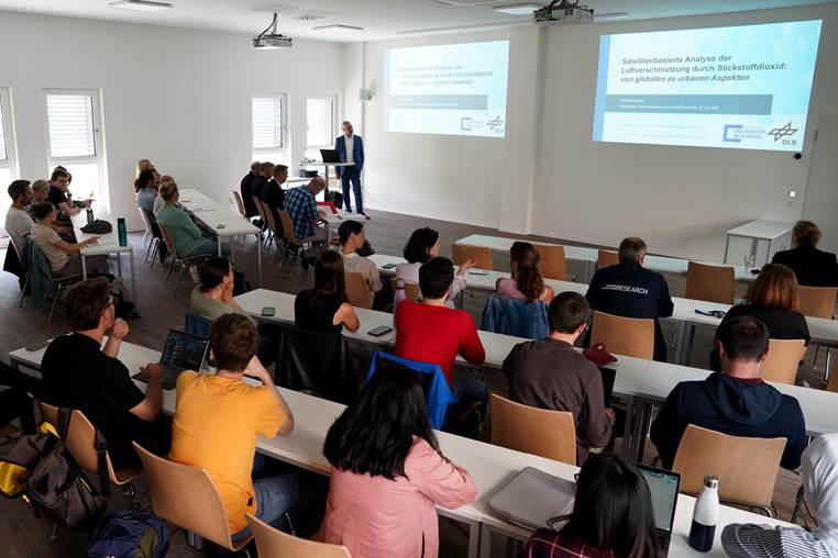
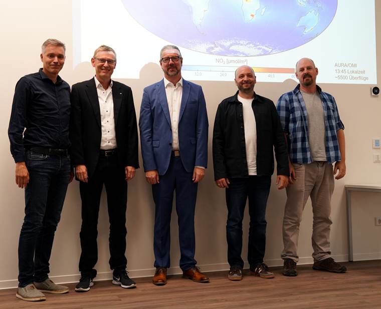
We congratulate Thilo Erbertseder on his successful defense of his PhD thesis.
The thesis is titled “Satelliten-basierte Analyse der Luftverschmutzung durch Stickstoffdioxid: von globalen zu urbanen Aspekten” [engl.: Satellite-based analysis of nitrogen dioxide air pollution: from global to urban aspects]. Thilo employed satellite data to analyze and assess the spatiotemporal distribution and dynamics of nitrogen dioxide (NO₂) air pollution at various spatial scales (global, national, regional, urban). Given its short atmospheric lifetime and primarily anthropogenic origin, NO₂ was used as an indicator of air quality and anthropogenic activity patterns.
Here is the abstract of the thesis:
Air pollution is globally recognized as the most significant environmental health risk, disproportionately affecting urban populations. Moreover, air pollutants impact climate, ecosystems, and economies. Traditionally, air pollutants have been monitored through spatially scattered in-situ measurement stations providing localized information. However, satellite-based remote sensing has enabled global, continuous, and spatially comprehensive observations of air pollutants since 1996. This dissertation comprises three studies employing satellite data to analyze and assess the spatiotemporal distribution and dynamics of nitrogen dioxide (NO₂) air pollution at various spatial scales (global, national, regional, urban). Given its short atmospheric lifetime and primarily anthropogenic origin, NO₂ was used as an indicator of air quality and anthropogenic activity patterns.
The first study investigated the statistical relationship between urban growth and tropospheric NO₂ pollution trends for 38 megacities worldwide from 1996 to 2015. Satellite data from GOME, SCIAMACHY, GOME-2A, and GOME-2B, alongside settlement growth data from the World Settlement Footprint Evolution, were utilized. This study, for the first time, systematically identified correlations between urban growth and NO₂ trends using a consistent spatial delineation of megacities by applying the concept of Functional Urban Areas. An average annual increase in tropospheric NO₂ concentrations of 5.06 ± 0.83% was found, with settlement growth averaging 2.87% per year. It is found that the relationship between NO₂ emissions and urban expansion was significantly influenced by the World Bank’s socioeconomic income classification, revealing higher NO₂ growth in rapidly expanding cities. Thus, the study advances beyond previous research by providing a deeper understanding of the developmental trajectories of megacities, its relations to societal wealth and their implications for global sustainability.
The second study focused on Germany, employing satellite data from Sentinel-5P/TROPOMI sensors at unprecedented spatial resolution and Sentinel-2 data, to analyze national spatial patterns of NO₂ pollution and its determinants. Through hotspot and coldspot analyses, 24 national hotspots were identified, predominantly located in urban areas but also in energy-intensive regions. A location-specific analysis of influencing factors consistently identified impervious surfaces, population density, and road density as dominant determinants of NO₂ pollution levels across all regions, whereas other factors had more location-specific impacts. These findings underscore the sensitivity of TROPOMI to pollutants in the boundary layer and the potential of high-resolution satellite remote sensing data to detect and analyze complex environmental geographic relationships.
The third study examined the regional effects of a NOₓ emission tax introduced in the Comunidad Valenciana, Spain, in 2013, using a difference-in-differences approach combined with multi-temporal satellite-based NO₂ data. Results showed that the tax led to a moderate yet significant annual NO₂ reduction of 1.2%, corresponding to an emission decrease of approximately 728 tons of NOₓ. Additional analyses indicated stronger effects in industrial regions, technologically innovative firms, and larger companies. Conversely, firms with substantial market power partially shifted the tax burden, diminishing the environmental effectiveness of the tax. These findings highlight the necessity of complementing emission taxes with additional regulatory measures and innovation incentives.
Collectively, these studies confirmed and expanded the fundamental hypothesis, illustrating a nonlinear relationship between air pollution and economic development following an inverted-U shaped curve (Environmental Kuznets Curve, EKC). According to this model, environmental pollution initially increases in early economic development stages, peaks at intermediate income levels, and subsequently declines with further economic prosperity. Thus, the presented research significantly contributes to environmental geography and environmental policy by revealing spatial patterns, temporal dynamics, driving factors, and potential policy actions for sustainably improving air quality.
With these contributions, this dissertation shows that remote sensing data on air quality in combination with other geodata, e.g. from the economy, can make an important contribution to the monitoring of environmental changes and at the same time evaluate options for action for decision-makers.


