textbooks on remote sensing

textbooks on remote sensing

June 13, 2019

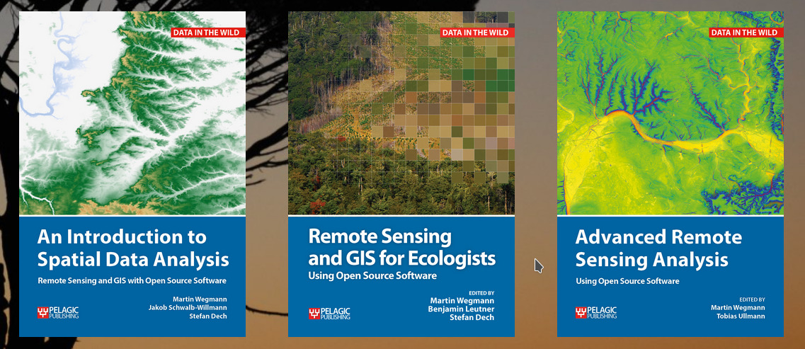
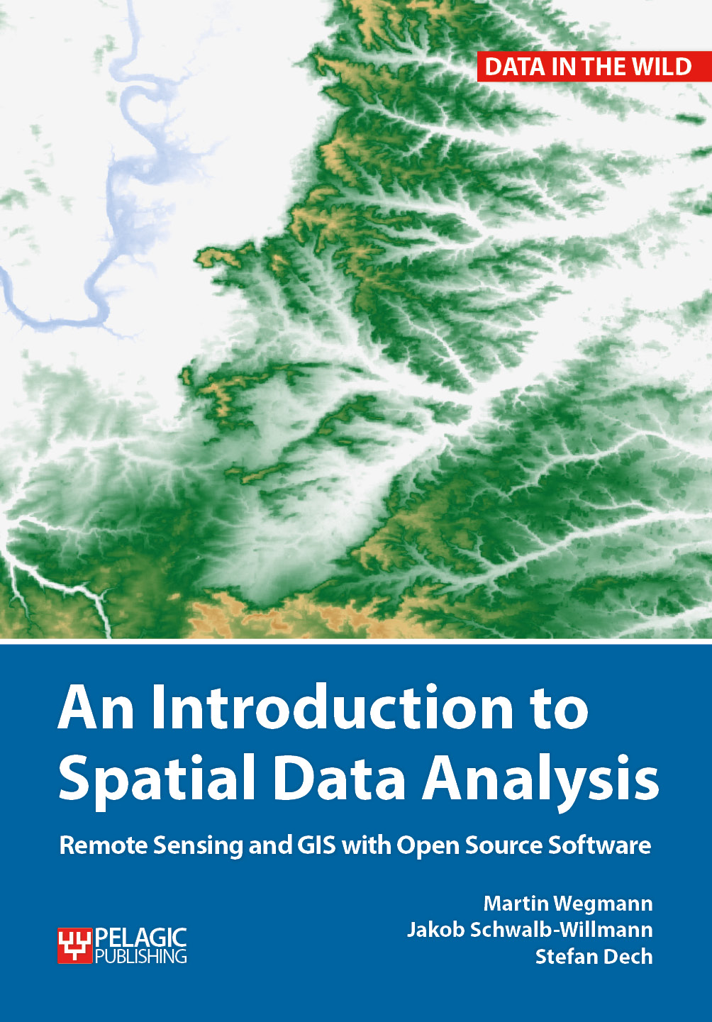
Our already published textbook on “Remote Sensing and GIS for Ecologists – using Open Source software” was very well perceived and we got very positive feedback. However, either an introduction or more advanced methods and data was asked for as well. Hence, we decided to write another book addressing the fundamentals of spatial data analysis using mainly QGIS and with just a little bit of R. And we started the advanced remote sensing book which introduces hyperspectral, radar, LiDAR, UAV and many further methods and approaches using a variety of programs such as R, python or SNAP.

These books are covering parts of our courses within our study programs and are partly written by our own staff members.

for more details please see http://book.ecosens.org

you may also like:

Exploring Arctic Vegetation Patterns: PhD Fieldwork on Svalbard

Exploring Arctic Vegetation Patterns: PhD Fieldwork on Svalbard

This summer, one of our PhD students, Elio Rauth, embarked on an exciting scientific journey to the High Arctic—conducting detailed vegetation surveys on the remote archipelago of Svalbard. The aim? To better understand the intricate mosaic of Arctic plant communities...

John Friesen gives a talk at DLR

John Friesen gives a talk at DLR

On the 17th of July, Dr. John Friesen gave a inspiring talk at the seminar of the department "Georisks and Civil Security (GZS)" at the Earth Observation Center (EOC) of the German Aerospace Center (DLR). The talk was titled "Urbanization and infrastructure in the...

EORC and EAGLE summer BBQ

EORC and EAGLE summer BBQ

We’re happy to announce that our summer BBQ is happening again on Thursday, July 24th at 4 pm! Alongside good food and a relaxed atmosphere, we’re also hosting a series of short talks highlighting exciting topics in Earth Observation and environmental science: “The...