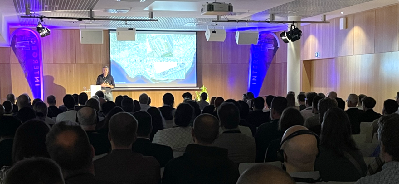

Another contribution from the Earth Observation Center (EOC) of the DLR and our Earth Observation Research Cluster (EORC) at INTERGEO was a presentation by Prof. Dr. Hannes Taubenböck in the session ‘Earth Observation: Crises’. The presentation, entitled “Die Geographie der Gewalt: Fernerkundung zur Analyse von Flucht, Vertreibung, bewaffneten Konflikten und Kriegen; [engl.] The Geography of Violence: Remote Sensing for the Analysis of Flight, Displacement, Armed Conflicts and Wars“, addressed diverse applications used in remote sensing to document, monitor and analyze armed conflicts and wars, as well as their consequences, such as flight and displacement. https://programm.dvw.de/intergeo-agenda-en/die-geographie-der-gewalt-fernerkundung-zur-analyse-von-flucht-vertreibung-bewaffneten-konflikten-und-kriegen?&sortby=customfield_168%20asc&filters.location=11%2C14%2C12%2C13%2C&searchgroup=libraryentry-intergeo-agenda-en
Here is the abstract of the talk: Modern remote sensing from space, which today offers spatial resolutions of up to 15 cm and, in principle, daily repeat rates, makes it possible to document changes to the Earth’s surface with a high degree of precision. This makes it possible to document the spatial manifestations of developments such as armed conflicts, refugee camps, population and settlement trends in border regions, the demolition of informal slum areas and similar phenomena. This presentation highlights and critically examines the technological potential, risks and ethical concerns associated with this technology.