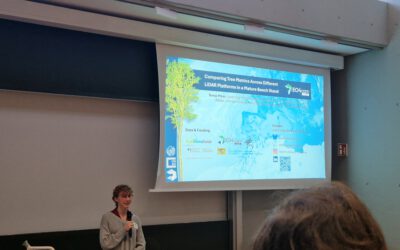
At the recent Betafor project meeting, our Earth observation research team presented our ongoing work with unmanned aerial systems (UAS) and their potential for advancing ecological research. We focused on how multi-sensor, multi-scale, and multi-temporal UAS-based remote sensing can support data-driven insights across various ecosystems, including forests, meadows, and transitional landscapes.
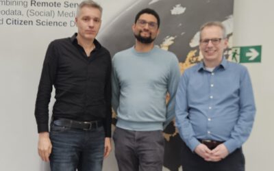
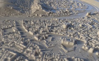
Our team—Luisa Pflumm, Antonio Castaneda-Gomez, Jakob Schwalb-Willmann, and Mirjana Bevanda—has collected detailed UAS datasets from diverse forest systems across Germany. These datasets offer a rich basis for ecological analysis through the generation of derivatives such as canopy structure, vegetation indices, habitat heterogeneity metrics, and temporal change detection.
The presentation sparked lively discussions, with valuable suggestions from fellow researchers on which UAS-derived products could be particularly useful for ecological applications. From monitoring biodiversity to understanding forest dynamics, the dialogue highlighted many exciting possibilities for future collaboration.
We’re enthusiastic about continuing to integrate UAS-based Earth observation with ecological science and welcome collaborations to explore this further. For inquiries or collaborative ideas, Mirjana Bevanda (mirjana.bevanda@uni-wuerzburg.de) is the point of contact.
Together, we aim to push the boundaries of ecological Earth Observation and contribute to a deeper understanding of our ecosystems.