UAS Lidar field work on Zugspitze

UAS Lidar field work on Zugspitze

m

May 30, 2022

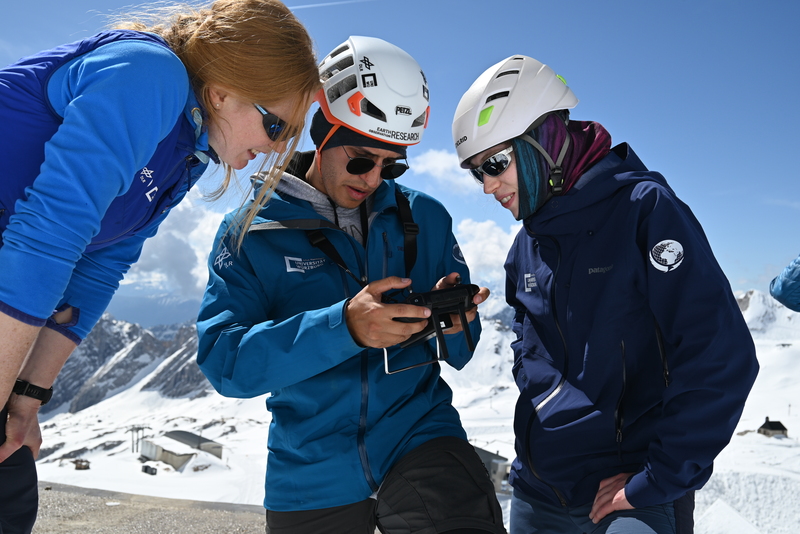
A first explorative UAS-based Lidar and thermal data acquisition was successfully finished and we received very interesting high resolution spatial data of the terrain including snow cover and especially rock structures.

Flying UAS systems on nearly 3000m ASL and with high mountain environmental conditions is challenging but also quite interesting for our EAGLE M.Sc. students who joint for this first flight. More flights are planned for later this year aiming for specific research questions. Also visiting the Schneefernerhaus Research Station (UFS) was very interesting and a perfect location for high mountain research.

follow us and share it on:

you may also like:

MainPro workshop on TLS and LiDAR UAS

MainPro workshop on TLS and LiDAR UAS

This week, a workshop organized by Sebastian Buchelt within our EFRE project MainPro brought together students, researchers, and interested project partners to explore modern UAV technologies. The workshop took place in vineyards close to Würzburg and gave the...

25 Years of Remote Sensing in Würzburg

25 Years of Remote Sensing in Würzburg

Our chair of remote sensing, Professor Stefan Dech, likes to say "science is rarely a sprint, it's a marathon". And if you look at what's grown out of Würzburg over the last 25 years, you'll see exactly what he means. In 2026 the Julius-Maximilians-Universität...

Starkregen in Bayern: Beobachtungen und Dokumentation zählen

Starkregen in Bayern: Beobachtungen und Dokumentation zählen

Starkregenereignisse treten immer häufiger lokal, kurzfristig und mit hoher Intensität auf. Innerhalb weniger Stunden können sie erhebliche Überschwemmungen und Schäden verursachen. Um solche Ereignisse künftig besser zu verstehen und die wissenschaftliche Grundlage...

Seeing the World in Points: Lidar Course for the EAGLEs

Seeing the World in Points: Lidar Course for the EAGLEs

Lidar has a funny way of sneaking up on you. You think you know what it is, a laser that measures distance, fine, but then someone shows you a point cloud of a forest canopy with individual branches floating in 3D space and suddenly you realize there's a whole...

TV Crew Films EORC at MONID Habitrack Fieldwork

TV Crew Films EORC at MONID Habitrack Fieldwork

A bit of extra excitement at EORC recently: A television crew showed up to film a segment on the MONID Habitrack project financed by the BMFTR, and Dr. Ariane Droin was right in the middle of it, walking them through what Earth...

Ticks from Above: UAS Fieldwork for the MONID Habitrack Project

Ticks from Above: UAS Fieldwork for the MONID Habitrack Project

Forest edges are tricky places. They're where woodland meets open ground, where light and shade trade off every few meters, and where, it turns out, ticks tend to do really well. That last bit is exactly why Dr. Ariane Droin, Sofía García de León, Dr. Jakob...

Share This