
WASCAL MSc Program course on spatial data analysis

WASCAL MSc Program course on spatial data analysis

May 7, 2021

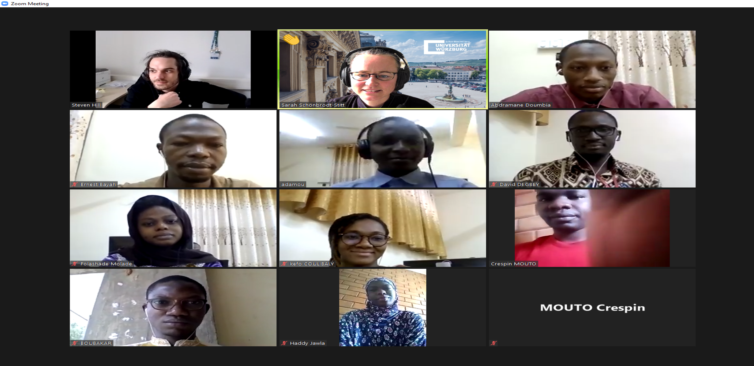
As part of the project WASCAL-DE-Coop, the Department of Remote Sensing at the University of Würzburg conducted the second course on Spatial Data Analysis, embedded in the WASCAL Master Research Program “Climate Change and Informatics” at the University Université Joesph Ki-Zerbo, Ouagadougou in Burkina Faso. The WASCAL MSc students worked on and implemented spatial data and spatial data analysis methods, working with remote sensing data and programming in Python.

Ten intense days (April 26 to May 07) of spatial data analysis with much theory and, most importantly, exercises just finished. And in the end, it just feels like time was running so fast. We wish all WASCAL master students in Ouagadougou maximum success in implementing their research work and the always right portion of curiosity and passion in spatial data analysis.

follow us and share it on:

you may also like:

Drone manufacturer Wingtra visits EORC

Drone manufacturer Wingtra visits EORC

Is it possible to combine the efficiency of a fixed-wing drone with the precision of a laser scanner? That question brought researchers from EORC together with Wingtra, a Swiss company designing and manufacturing fixed-wing UAS, to exchange on UAS research and discuss...

How We Learned to Fly: The Story Behind UAS Research at EORC

How We Learned to Fly: The Story Behind UAS Research at EORC

Every research group that's ever bought a drone has a story about the first one it lost. We're no different. So let's just get that out of the way up front: this is the inside story of how UAS (Unoccupied Aerial System) research grew up at the Earth Observation...

MainPro workshop on TLS and LiDAR UAS

MainPro workshop on TLS and LiDAR UAS

This week, a workshop organized by Sebastian Buchelt within our EFRE project MainPro brought together students, researchers, and interested project partners to explore modern UAV technologies. The workshop took place in vineyards close to Würzburg and gave the...

Ticks from Above: UAS Fieldwork for the MONID Habitrack Project

Ticks from Above: UAS Fieldwork for the MONID Habitrack Project

Forest edges are tricky places. They're where woodland meets open ground, where light and shade trade off every few meters, and where, it turns out, ticks tend to do really well. That last bit is exactly why Dr. Ariane Droin, Sofía García de León, Dr. Jakob...

Visiting Scientists from CIGIDEN R+ (Chile) at DLR-EOC

Visiting Scientists from CIGIDEN R+ (Chile) at DLR-EOC

Our Department Head Prof. Hannes Taubenböck was honored to welcome Prof. Alejandra Stehr from the Universidad de Concepción and Prof. Rodrigo Cienfuegos from the Pontificia Universidad Católica de Chile at the Earth Observation Center (EOC) of the German Aerospace...

MainPro remote sensing analysis products are now available online

MainPro remote sensing analysis products are now available online

Within our interdisciplinary research project MainPro, we aim to analyse potential climate change induced geohazards in the Main valley and its tributaries and develop nature-based solutions for them.  This project involves a large-scale analysis of potential...

Share This