Category: Python
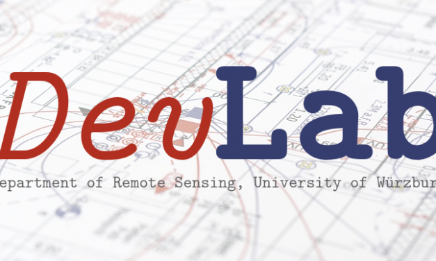
DevLab 2020: EO Data Cube Workshop by Steven Hill
In our Department’s first DevLab workshop of 2020, Steven Hill will give an introduction into the Open Data Cube infrastructure of our Department and demonstrate the cube’s web and Python user interfaces.
Read MoreManaging raster data with PostGIS and Python
PostGIS is the spatial extension of the open source database management system PostgreSQL. It helps you to manage your data (vector and raster) within a coherent geodatabase through a variety of spatial functions. Having a...
Read MoreExtracting the central strip from LANDSAT 7 imagery
Here is a simple Python code to extract the central strip from Landsat 7 imagery (SLC-off), that is not affected by the SLC failure. The algorithm shrinks the striping zones through a morphological filter (erosion) and creates...
Read More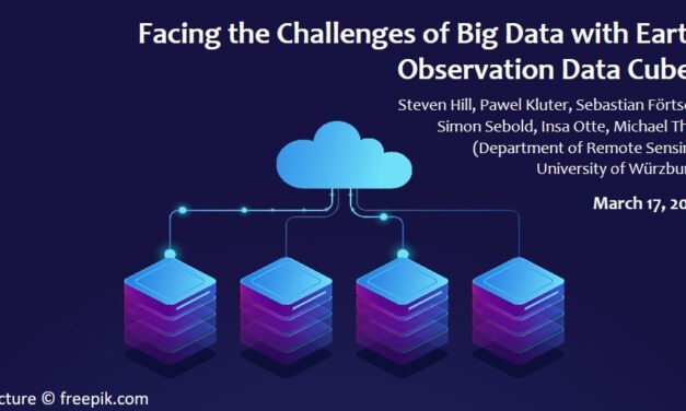
Workshop Report at the Department of Remote Sensing – March 17, 2021
We are glad to announce our next workshop report at the Department of Remote Sensing! On the 17th...
Read More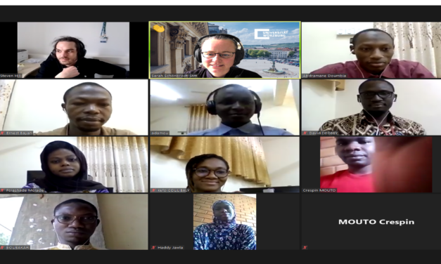
WASCAL MSc Program course on spatial data analysis
As part of the project WASCAL-DE-Coop, the Department of Remote Sensing at the University of...
Read More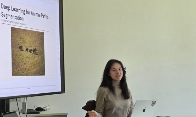
Informatics student project: Enhancing deep learning techniques to detect animal paths in UAV imagery
When animals roam the savanna, e.g. to find resources, they leave distinctive paths in the...
Read More