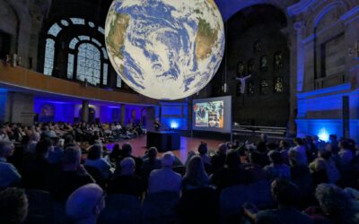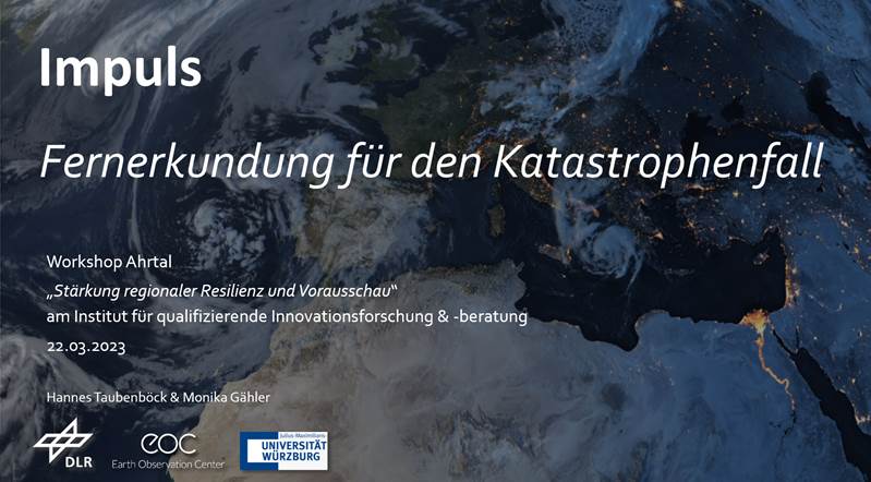

On 22nd of March, our Professor Hannes Taubenböck and Dr. Monika Gähler (head of the “Center for satellite-based crises information (ZKI)” team at the DLR) presented in a workshop titled “Stärkung regionaler Resilienz und Vorausschau” at the „Institut für qualifizierende Innovationsforschung und -beratung (IQIB)” on the capabilities of remote sensing data and methods for catastrophic events. The workshop took place in Bad-Neuenahr-Ahrweiler – a place that was severely affected by heavy rain fall and floods in the summer of 2021. DLR’s ZKI back then supported rescue workers in the Ahr Valley in their work with high-resolution aerial image data within a very short time after the flood disaster.
In the course of the workshop, Hannes Taubenböck was also interviewed on the topic. Read the full interview here: https://www.iqib.de/de/interview-mit-prof-hannes-taubenbock-vom-earth-observation-center-eoc-des-deutschen-zentrums.html