Workshop Report at the Department of Remote Sensing – December 08, 2021

Workshop Report at the Department of Remote Sensing – December 08, 2021

November 24, 2021

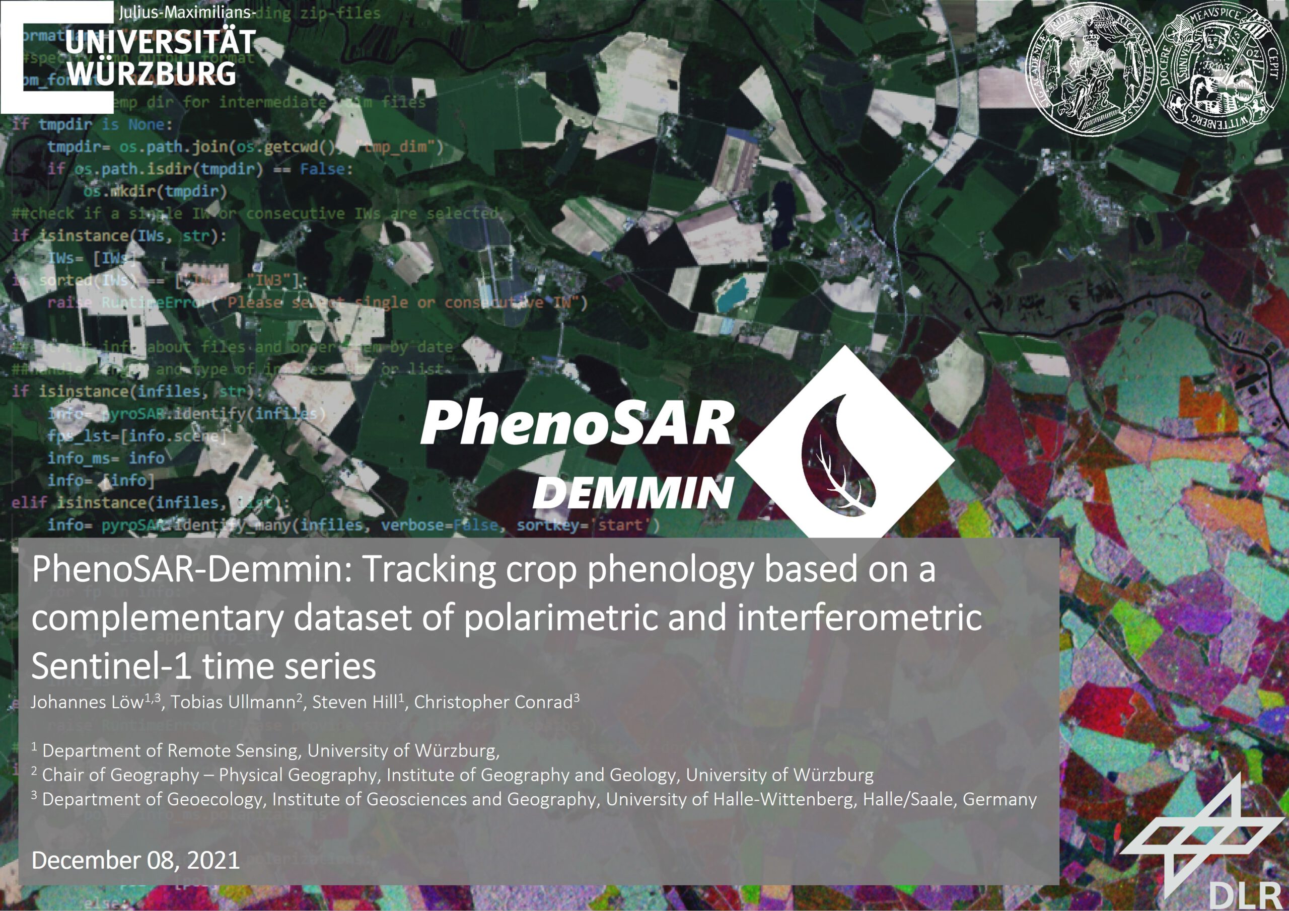
We are glad to announce our next workshop report at the Department of Remote Sensing. On the 08th of December, Johannes Löw, Tobias Ullmann, Steven Hill, and Christopher Conrad (see below) will talk about “PhenoSAR-Demmin: Tracking crop phenology based on a complementary dataset of polarimetric and interferometric Sentinel-1 time series”.

Abstract

The goal of the PhenoSAR Demmin project is to evaluate potential information inherent to the Sentinel-1 time series to monitor farmland. Hereby, a particular focus is set on phenological development. The expected result is a monitoring framework to detect various stages of plant growth and their transition. This framework is based on interferometric and polarimetric Sentinel-1 time series and the underlying information about changes in plant geometry. Additionally, this project focuses on the improved transferability and scalability of its approach. Hence, its primary platform of development is an open data cube environment. With the test site DEMMIN as the study area, the project is connected to ongoing research in the AgriSens DEMMIN 4.0 project as well as the German TERENO and international JECAM Initiatives.

Title of presentation: PhenoSAR-Demmin: Tracking crop phenology based on a complementary dataset of polarimetric and interferometric Sentinel-1 time series Authors: Johannes Löw (presenter)1,3, Tobias Ullmann2, Steven Hill1, Christopher Conrad3

1 Department of Remote Sensing, University of Würzburg, 2 Chair of Geography – Physical Geography, Institute of Geography and Geology, University of Würzburg, 3 Department of Geoecology, Institute of Geosciences and Geography, University of Halle-Wittenberg, Halle/Saale, Germany

Date: Wednesday, 08th of December, 2021 Time: 09 – 10 am s.t. Place: Online Presentation language: English Slides: English

you may also like:

Workshop on “Geodata, (social) media data and linguistics”

Workshop on “Geodata, (social) media data and linguistics”

On 26 February 2025, a workshop on "Geodata, (social) media data and linguistics" was held at DLR in Oberpfaffenhofen. Colleagues from the German Remote Sensing Data Center (DFD) of the DLR and from the Chair of English Linguistics as well as our Earth Observation...

UAS Team Acquires high alpine snow data

UAS Team Acquires high alpine snow data

In a remarkable display of teamwork, our UAS (Unoccupied Aerial Systems) team has successfully managed to overcome some technical obstacles present since last summer on UAS data collection in steep terrain and acquired a wealth of data using lidar, multispectral, and...

Datacube Retreat in Pfronten

Datacube Retreat in Pfronten

Last week, our EORC staff member Insa Otte, Steven Hill, Christoph Friedrich as well as Johannes Löw from University Halle-Wittenberg conducted a Datacube retreat for three days in Pfronten near the Alps. Besides quality team building time on joint hikes, important...

AgriSens DEMMIN 4.0 results symposium

AgriSens DEMMIN 4.0 results symposium

The AgriSens DEMMIN 4.0 results symposium is currently running at the Neubrandenburg University of Applied Sciences with many guests from economic practice, but also from politics and business. The project results are presented and discussed in terms of their...

Science Slam in Rosenheim: Hannes Taubenböck wins again

Science Slam in Rosenheim: Hannes Taubenböck wins again

After the completely surprising win of the Science Slam in Würzburg in November 2024 (we reported about it: https://remote-sensing.org/hannes-taubenbock-represents-eorc-at-the-science-slam-and-wins/), Hannes Taubenböck was invited to the Science Slam in Rosenheim. The...