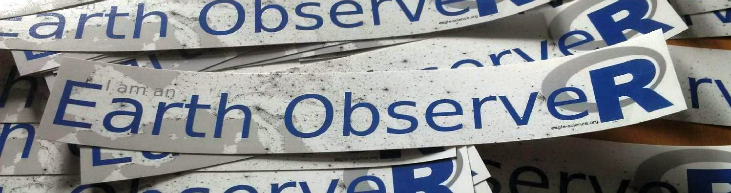

 Triggered by remarks of our students we printed some Earth ObserveR stickers reflecting the amount of coding in our courses on remote sensing using R. It is a great environment for learning how to code in the spatial domain, learn classifications, data processing or plotting of remote sensing data using among others the RStoolbox R package or exploring the huge diversity of statistical functions within R and its packages for more sophisticated modelling approaches. Our students love these stickers even though they are also doing spatial data analysis in python or other software packages but went through quite some courses on remote sensing using R only.

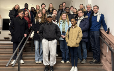
Welcome, new EAGLEs!
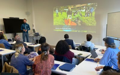
The newest group of EAGLE students arrived in Würzburg! They come from different countries, with different backgrounds and different skills, and that’s exactly what makes this program special. Remote sensing is a big field, and it gets better when people look at it...