Field campaign in Côte d’Ivoire and Burkina Faso and contribution to the AfricaGIS 2021 by the Ph.D. student Boris Ouattara

Field campaign in Côte d’Ivoire and Burkina Faso and contribution to the AfricaGIS 2021 by the Ph.D. student Boris Ouattara

February 2, 2022

From November 2021 to January 2022, Boris Ouattara (Ph.D. student in Physical Geography and part of the WASCAL-DE-Coop project) went for a field campaign to Côte d’Ivoire and Burkina Faso, West Africa. He is working on burned areas mapping, related greenhouse gas emissions, and their effect in West Africa.

An agricultural field in Borotou-Koro, north-western Côte d’Ivoire. Picture by Boris Ouattara.

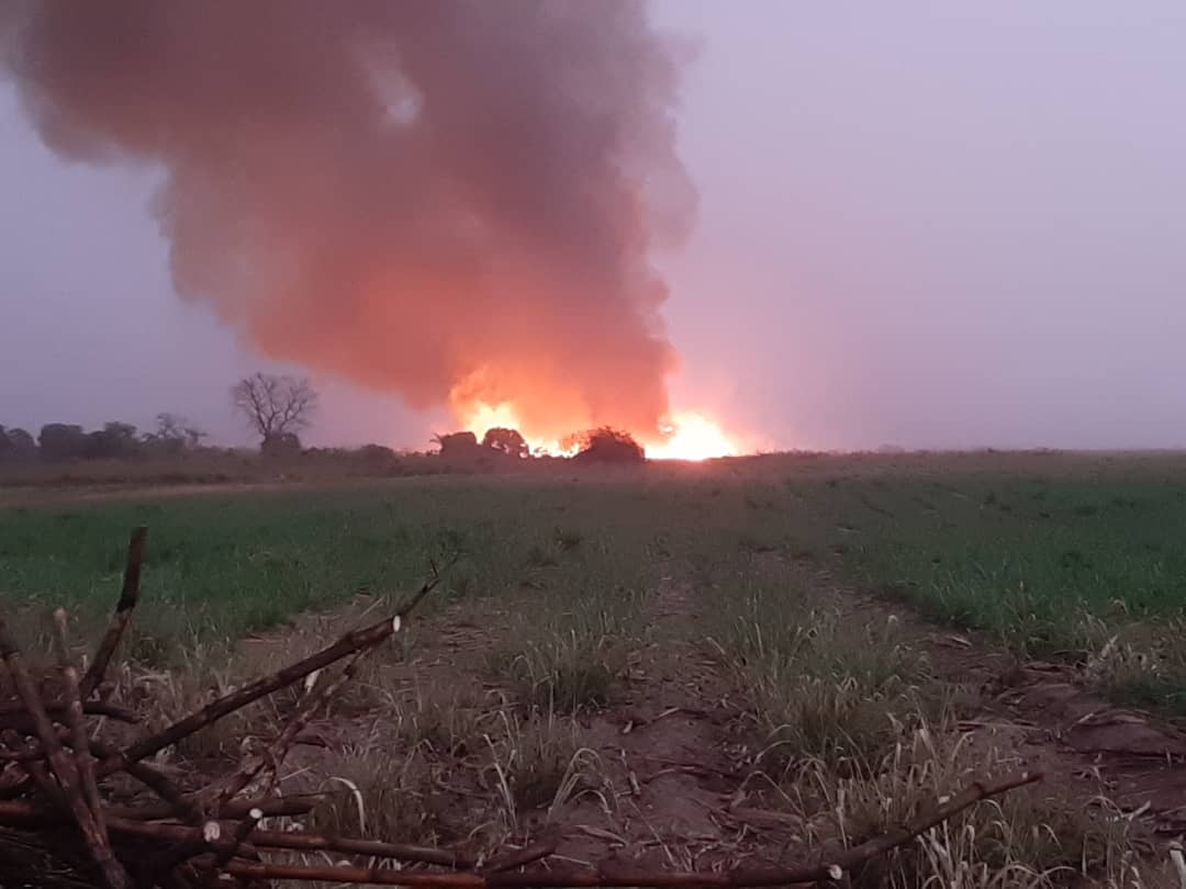
The objective of his field campaign was to collect reference burned area perimeter, information about biomass burned, and to discuss with stakeholders about fire management in the West African landscape.

Before starting his fieldwork, he attended the AfricaGIS (EIS-AFRICA) conference held in Abidjan between the 22nd and 26th of November 2021. During a short talk and interviews, he highlighted the contribution of remote sensing data to fire management in West Africa.  This research is funded by the German Federal Ministry of Education and Research (BMBF).

you may also like:

Guided tour of the Märkisches Viertel in Berlin

Guided tour of the Märkisches Viertel in Berlin

Guided tour of the Märkisches Viertel in Berlin   As part of our research work on large housing estates, we had the opportunity to take part in a guided tour through the Märkisches Viertel in Berlin on 17.04.2024. The Märkisches Viertel has around 17,000...

preparation of official CAIDAS opening

preparation of official CAIDAS opening

On Friday the CAIDAS center will be officially opened and we are part of this great AI initiative at the University of Würzburg. For this event all members prepare specific showcases and info walls - we decided to show our Earth Observation research using interactive...