First Summer School on Earth Observation for International Development

First Summer School on Earth Observation for International Development

m

October 7, 2019

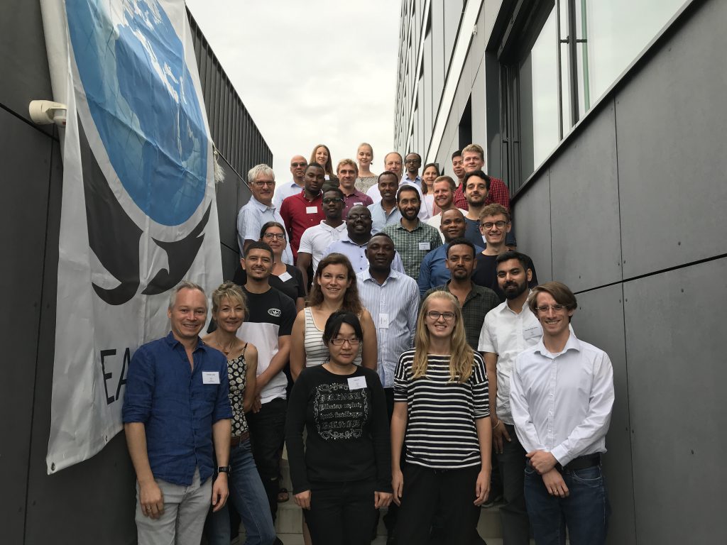
The first summer school on Earth observation for international development took place from 26 – 29 August 2019 at the University of Würzburg. 20 participants from GIZ and cooperating organizations fom Germany, Philippines, Congo, Ethiopia and Namibia visited Würzburg to learn the the full process of designing and implementing satellite-based monitoring approaches in the context of international development tasks.

The summer school aimed to train international technical experts, users and project planners on EO-related topics and innovative approches like:

Satellite missions and sensor types
Data gateways
EO project design
Data integration and preprocessing
Classifciation techniques and value adding
Accuracy and product quality assessment
Long-term implementation for operational monitoring
Operationalization of EO in administration

As a first launch of the training format, ecpecially designed for consultants and planners in the context of international development, the group appreciated a detailed and very personal training course to implement state of play and future EO technologies for environmental monitoring and reporting processes.

The first training was organized in cooperation with DLR-EOC and GIZ. A next training course is in planning for 2020. Please visit us on www.geosens.org to get informed for the next training and registration dates.

follow us and share it on:

you may also like:

Seeing the World in Points: Lidar Course for the EAGLEs

Seeing the World in Points: Lidar Course for the EAGLEs

Lidar has a funny way of sneaking up on you. You think you know what it is, a laser that measures distance, fine, but then someone shows you a point cloud of a forest canopy with individual branches floating in 3D space and suddenly you realize there's a whole...

RTL covers EORC: TV Crew Films MONID Habitrack Fieldwork

RTL covers EORC: TV Crew Films MONID Habitrack Fieldwork

A bit of extra excitement at EORC recently, an RTL television crew showed up to film a segment on the MONID Habitrack project, and Dr. Ariane Droin was right in the middle of it, walking them through what Earth Observation actually brings to the table for a project...

Ticks from Above: UAS Fieldwork for the MONID Habitrack Project

Ticks from Above: UAS Fieldwork for the MONID Habitrack Project

Forest edges are tricky places. They're where woodland meets open ground, where light and shade trade off every few meters, and where, it turns out, ticks tend to do really well. That last bit is exactly why Dr. Ariane Droin, Sofica Garcia de Leon, Dr. Jakob...

Course on urban EO by Michael Wurm

Course on urban EO by Michael Wurm

Walk through any city and you pick up on things that are hard to put a number on. The noise of a main road, the heat that sits between buildings in summer, the question of whether that little park around the corner is really enough green space for the whole...

EireR R package: unified gateway to Irish geospatial data

EireR R package: unified gateway to Irish geospatial data

Anyone who's tried to do geospatial work across the whole island of Ireland knows the headache. Ireland is one island geographically, but it's split across two jurisdictions, the Republic and Northern Ireland, and each one runs its own data infrastructure. Different...

Impact of agrophotovoltaic facilities – an R package

Impact of agrophotovoltaic facilities – an R package

There's a new R package on the block, and it's solving a problem that sounds simple until you actually try to do it: how do you tell whether putting solar panels over a farm field is good or bad for the soil and the crops around them? Marlene, one of our EAGLE...

Share This