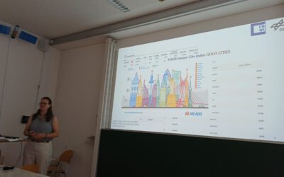
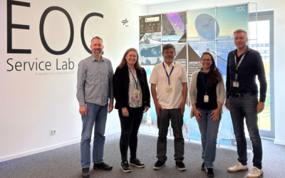
Last week we had a meeting with the Bavarian Red Cross and discussed collaborations within the frame of georsisks and emergency mapping. UAS and space-borne mapping approaches already conducted by our EORcluster were presented and Mr. Kippnich outlined the needs and requirements by BRK for georisk mapping. Further joint projects are planned as well as exchange of spatial data acquisition for BRK mapping needs.
Prof. Hannes Taubenböck introduced from our site the urban mapping topic, Prof. Tobias Ullmann the environmental risk research, Dr. Mirjana Bevanda the UAS/UAV/Drone research and Dr. Martina Wilde the georisk topic like landslides.
Prof. Hannes Taubenböck introduced from our site the urban mapping topic, Prof. Tobias Ullmann the environmental risk research, Dr. Mirjana Bevanda the UAS/UAV/Drone research and Dr. Martina Wilde the georisk topic like landslides.